Houilles | |
|---|---|
 Town hall | |
 Coat of arms | |
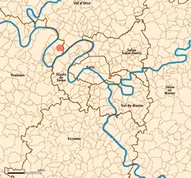
 Location (in red) within Paris inner and outer suburbs | |
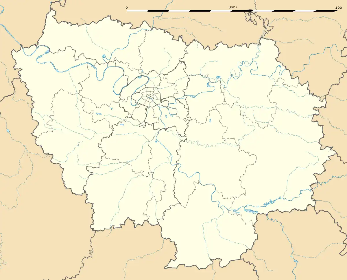
Location of Houilles | |
 Houilles  Houilles | |
| Coordinates: 48°55′34″N 2°11′21″E / 48.9261°N 2.1892°E | |
| Country | France |
| Region | Île-de-France |
| Department | Yvelines |
| Arrondissement | Saint-Germain-en-Laye |
| Canton | Houilles |
| Intercommunality | CA Saint Germain Boucles Seine |
| Government | |
| • Mayor (2020–2026) | Julien Chambon[1] |
| Area 1 | 4.43 km2 (1.71 sq mi) |
| Population | 33,449 |
| • Density | 7,600/km2 (20,000/sq mi) |
| Time zone | UTC+01:00 (CET) |
| • Summer (DST) | UTC+02:00 (CEST) |
| INSEE/Postal code | 78311 /78800 |
| Elevation | 27–57 m (89–187 ft) |
| 1 French Land Register data, which excludes lakes, ponds, glaciers > 1 km2 (0.386 sq mi or 247 acres) and river estuaries. | |
Houilles (French pronunciation: [uj]) is a commune in the Yvelines department in the Île-de-France region in north-central France. It is a northwestern suburb of Paris, located 14.2 km (8.8 mi) from the center of Paris.
History
Until 2000, the command post of the French Navy's Ballistic Missile Submarine Force was based at Houilles.
Victor Schœlcher, a French abolitionist writer in the 19th century and the main spokesman for a group from Paris who worked for the abolition of slavery died in Houilles on 25 December 1893. A nursery school, a street and a statue carry his name. The house in which he died in 1893 is at 26 Avenue Schœlcher. The commune of Houilles acquired the house in 2011.
Population
|
| ||||||||||||||||||||||||||||||||||||||||||||||||||||||||||||||||||||||||||||||||||||||||||||||||||||||||||||||||||
| Source: EHESS[3] and INSEE (1968-2017)[4] | |||||||||||||||||||||||||||||||||||||||||||||||||||||||||||||||||||||||||||||||||||||||||||||||||||||||||||||||||||
Transport
Houilles is served by Houilles–Carrières-sur-Seine station on Paris RER line A and on the Transilien Paris-Saint-Lazare suburban rail line.
Education
Houilles has fifteen preschool and elementary schools and three junior high schools.[5]
Junior high schools:
- Collège Alphonse-de-Lamartine
- Collège Guy-de-Maupassant
- Collège Sainte-Thérèse
Nearby senior high schools/sixth form colleges:[5]
- Lycée Les-Pierres-Vives (Carrières-sur-Seine)
- Lycée Jules-Verne (Sartrouville)
- Lycée Évariste-Galois (Sartrouville)
International relations
 Celorico de Basto, Portugal
 Chesham, England, United Kingdom
 Friedrichsdorf, Germany
 Schœlcher, Martinique, France
See also
References
- ↑ "Répertoire national des élus: les maires" (in French). data.gouv.fr, Plateforme ouverte des données publiques françaises. 13 September 2022.
- ↑ "Populations légales 2021". The National Institute of Statistics and Economic Studies. 28 December 2023.
- ↑ Des villages de Cassini aux communes d'aujourd'hui: Commune data sheet Houilles, EHESS (in French).
- ↑ Population en historique depuis 1968, INSEE
- 1 2 "Liste des établissements scolaires." Houilles. Retrieved on September 2, 2016.
- ↑ "Comité de Jumelage de Houilles". jumelage-houilles.com (in French). Comité de Jumelage de Houilles. Retrieved 2019-11-17.
External links
- Official website (in French)