Herramélluri | |
|---|---|
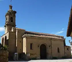
 Church of San Esteban | |
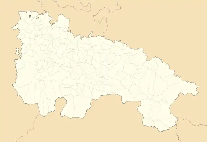
 Herramélluri Location within La Rioja.  Herramélluri Herramélluri (Spain) | |
| Coordinates: 42°30′07″N 3°01′11″W / 42.50194°N 3.01972°W | |
| Country | |
| Autonomous community | |
| Comarca | Santo Domingo de la Calzada |
| Government | |
| • Mayor | Felix Chinchetru Ranedo (PP) |
| Area | |
| • Total | 152.58 km2 (58.91 sq mi) |
| Elevation | 575 m (1,886 ft) |
| Population (2018)[1] | |
| • Total | 110 |
| Demonym | libiense |
| Postal code | 26213 |
Herramélluri (Basque for 'Herramel's villa') is a village in the province and autonomous community of La Rioja, Spain. The municipality covers an area of 10.88 square kilometres (4.20 sq mi) and as of 2011 had a population of 106 people.[2] It is named after Herramel, a lord in the 10th century.
References
- ↑ Municipal Register of Spain 2018. National Statistics Institute.
- ↑ "La Rioja: Población por municipios y sexo:Cifras oficiales de población resultantes de la revisión del Padrón municipal a 1 de enero de 2011". Instituto Nacional de Estadística. Archived from the original on 21 May 2012. Retrieved 27 May 2012.
This article is issued from Wikipedia. The text is licensed under Creative Commons - Attribution - Sharealike. Additional terms may apply for the media files.