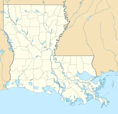
Head of Island, Louisiana | |
|---|---|
 Head of Island  Head of Island | |
| Coordinates: 30°16′11″N 90°45′12″W / 30.26972°N 90.75333°W | |
| Country | United States |
| State | Louisiana |
| Parish | Livingston |
| Elevation | 3 ft (0.9 m) |
| Time zone | UTC-6 (Central (CST)) |
| • Summer (DST) | UTC-5 (CDT) |
| ZIP code | 70449 |
| Area code | 225 |
| GNIS feature ID | 543284 [1] |
| FIPS code | 22-33595 |
Head of Island is an unincorporated community in Livingston Parish, Louisiana, United States. The community is located on Louisiana Highway 22, 5 miles (8.0 kilometres) west of Maurepas and 5 miles (8.0 kilometres) southeast of French Settlement south of the Amite River.
Amite River Diversion Canal
In May 2019 the U.S. Army Corps of Engineers began approving permits for clearing debris, trees and growth from the coastal waterways at Head of Island. The coastal restoration projects received partial funding from the Gulf of Mexico Energy Security Act.[2][3]
References
- 1 2 U.S. Geological Survey Geographic Names Information System: Head of Island, Louisiana
- ↑ "Livingston Parish Waterway cleanup receives green light, sustainability still up in the air". garretgraves.house.gov. Retrieved August 29, 2019.
- ↑ "Gulf of Mexico Energy Security Act (GOMESA)". Department of the Interior. Retrieved August 29, 2019.
This article is issued from Wikipedia. The text is licensed under Creative Commons - Attribution - Sharealike. Additional terms may apply for the media files.
