| Hawkins Glacier | |
|---|---|
.jpg.webp) Hawkins Glacier Head | |
 Hawkins Glacier | |
| Location | Alaska, U.S. |
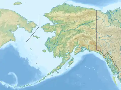
| Coordinates | 61°13′59″N 141°53′37″W / 61.23306°N 141.89361°W |
| Length | 35 km (22 mi) |
| Status | Retreating |
Hawkins Glacier is a 35 km (22 mi) long glacier in the U.S. state of Alaska. It trends southwest from Mount Bona to its terminus at the Chitina River west of Barnard Glacier, 37 miles (60 km) southeast of McCarthy.[1]
See also
References
This article is issued from Wikipedia. The text is licensed under Creative Commons - Attribution - Sharealike. Additional terms may apply for the media files.