Not to be confused with the nearby Harquahala Mountains.
Harqua, Arizona | |
|---|---|
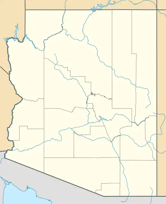 Harqua Location within the state of Arizona  Harqua Harqua (the United States) | |
| Coordinates: 33°14′35″N 112°59′57″W / 33.24306°N 112.99917°W | |
| Country | United States |
| State | Arizona |
| County | Maricopa |
| Elevation | 1,086 ft (331 m) |
| Time zone | UTC-7 (Mountain (MST)) |
| • Summer (DST) | UTC-7 (MST) |
| Area code | 928 |
| FIPS code | 04-31260 |
| GNIS feature ID | 24882 |
Harqua is a populated place situated in Maricopa County, Arizona, United States.[2] It has an estimated elevation of 1,086 feet (331 m) above sea level.[1]
Built along the Southern Pacific Railroad, the townsite of Harqua is approximately 18 miles south-southeast of Tonopah. Today it stands as a ghost town, (see: List of ghost towns in Arizona) with little more than a handful of crumbling foundations remaining.
References
- 1 2 "Feature Detail Report for: Harqua". Geographic Names Information System. United States Geological Survey, United States Department of the Interior.
- ↑ "Harqua (in Maricopa County, AZ) Populated Place Profile". AZ Hometown Locator. Retrieved November 24, 2016.
External links
 Media related to Harqua, Arizona at Wikimedia Commons
 Ghost towns travel guide from Wikivoyage
Municipalities and communities of Maricopa County, Arizona, United States | ||
|---|---|---|
| Cities |  | |
| Towns | ||
| CDPs | ||
| Populated places |
| |
| Indian reservations | ||
| Ghost towns/ former populated places | ||
| Footnotes | ‡This populated place also has portions in an adjacent county or counties | |
This article is issued from Wikipedia. The text is licensed under Creative Commons - Attribution - Sharealike. Additional terms may apply for the media files.