Höhenland | |
|---|---|
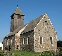 Church in Leuenberg village | |
Location of Höhenland within Märkisch-Oderland district 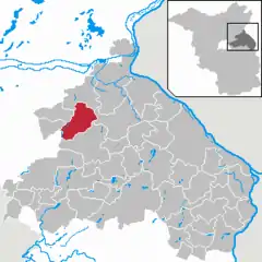 | |
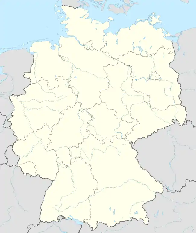 Höhenland 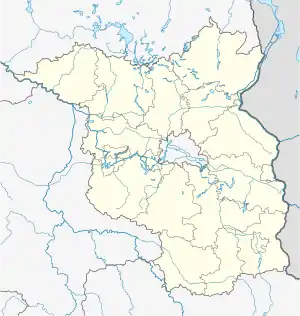 Höhenland | |
| Coordinates: 52°42′00″N 13°52′59″E / 52.70000°N 13.88306°E | |
| Country | Germany |
| State | Brandenburg |
| District | Märkisch-Oderland |
| Municipal assoc. | Falkenberg-Höhe |
| Government | |
| • Mayor (2019–24) | Karsten Eschner[1] |
| Area | |
| • Total | 53.83 km2 (20.78 sq mi) |
| Elevation | 115 m (377 ft) |
| Population (2021-12-31)[2] | |
| • Total | 1,028 |
| • Density | 19/km2 (49/sq mi) |
| Time zone | UTC+01:00 (CET) |
| • Summer (DST) | UTC+02:00 (CEST) |
| Postal codes | 16259 |
| Dialling codes | 033454 |
| Vehicle registration | MOL |
Höhenland is a municipality in the district Märkisch-Oderland, in Brandenburg, Germany.
Demography
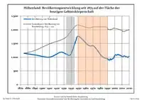
Development of population since 1875 within the current boundaries (Blue line: Population; Dotted line: Comparison to population development of Brandenburg state; Grey background: Time of Nazi rule; Red background: Time of communist rule)
|
|
- Wölsickendorf
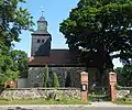 Church
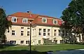 Manor house
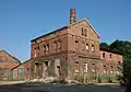 Former Distillery
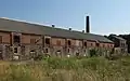 Barnyard
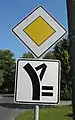 Traffic sign
References
- ↑ Landkreis Märkisch-Oderland Wahl der Bürgermeisterin / des Bürgermeisters, accessed 1 July 2021.
- ↑ "Bevölkerungsentwicklung und Flächen der kreisfreien Städte, Landkreise und Gemeinden im Land Brandenburg 2021" (PDF). Amt für Statistik Berlin-Brandenburg (in German). June 2022.
- ↑ Detailed data sources are to be found in the Wikimedia Commons.Population Projection Brandenburg at Wikimedia Commons
External links
![]() Media related to Höhenland at Wikimedia Commons
Media related to Höhenland at Wikimedia Commons
This article is issued from Wikipedia. The text is licensed under Creative Commons - Attribution - Sharealike. Additional terms may apply for the media files.