Großkmehlen | |
|---|---|
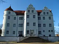 Castle | |
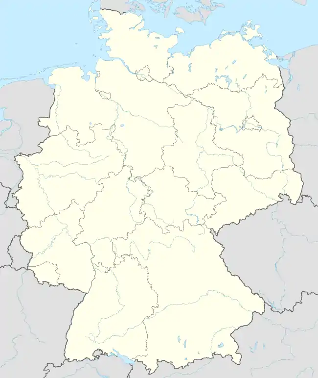
Location of Großkmehlen within Oberspreewald-Lausitz district  | |
 Großkmehlen 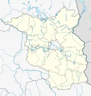 Großkmehlen | |
| Coordinates: 51°23′N 13°44′E / 51.383°N 13.733°E | |
| Country | Germany |
| State | Brandenburg |
| District | Oberspreewald-Lausitz |
| Municipal assoc. | Ortrand |
| Subdivisions | 3 Ortsteile |
| Government | |
| • Mayor (2019–24) | Dietmar Bruntsch[1] |
| Area | |
| • Total | 13.75 km2 (5.31 sq mi) |
| Elevation | 108 m (354 ft) |
| Population (2021-12-31)[2] | |
| • Total | 1,041 |
| • Density | 76/km2 (200/sq mi) |
| Time zone | UTC+01:00 (CET) |
| • Summer (DST) | UTC+02:00 (CEST) |
| Postal codes | 01990 |
| Dialling codes | 035755 |
| Vehicle registration | OSL |
| Website | www.grosskmehlen.de |
Großkmehlen is a municipality in the Oberspreewald-Lausitz district, in southern Brandenburg, Germany. The places of the municipality Großkmehlen belong to the few places in the southern part of the district Oberspreewald-Lausitz, which are not located in Lusatia.[3]
History
From 1815 to 1944, Großkmehlen was part of the Prussian Province of Saxony and from 1944 to 1945 of the Province of Halle-Merseburg. From 1952 to 1990, it was part of the Bezirk Cottbus of East Germany.
Demography
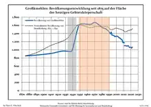
Development of Population since 1875 within the Current Boundaries (Blue Line: Population; Dotted Line: Comparison to Population Development of Brandenburg state; Grey Background: Time of Nazi rule; Red Background: Time of Communist rule)
|
|
References
- ↑ Landkreis Oberspreewald-Lausitz Wahl der Bürgermeisterin / des Bürgermeisters, accessed 2 July 2021.
- ↑ "Bevölkerungsentwicklung und Flächen der kreisfreien Städte, Landkreise und Gemeinden im Land Brandenburg 2021" (PDF). Amt für Statistik Berlin-Brandenburg (in German). June 2022.
- ↑ Artikel in der Lausitzer Rundschau vom 9. August 2008
- ↑ Detailed data sources are to be found in the Wikimedia Commons.Population Projection Brandenburg at Wikimedia Commons
Towns and municipalities in Oberspreewald-Lausitz | ||
|---|---|---|
Coat of Arms of Oberspreewald-Lausitz district | ||
This article is issued from Wikipedia. The text is licensed under Creative Commons - Attribution - Sharealike. Additional terms may apply for the media files.