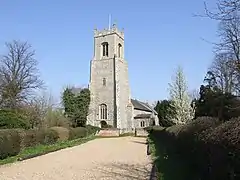
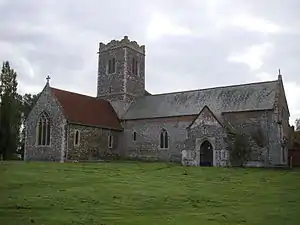
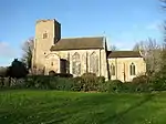
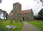
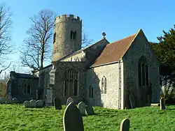
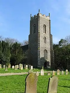
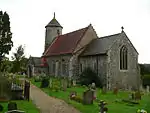
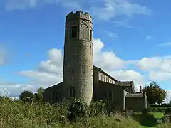
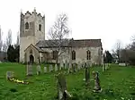
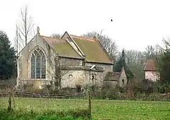
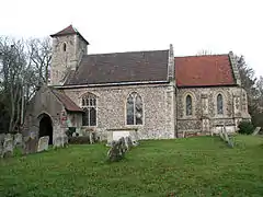
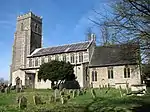
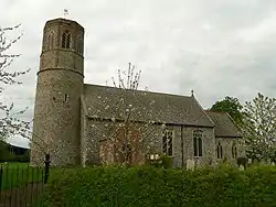
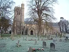
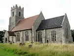
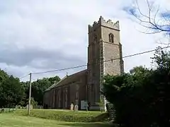
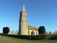
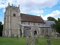
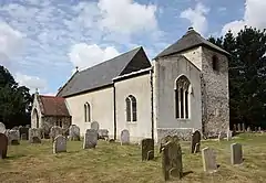
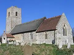
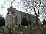
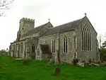
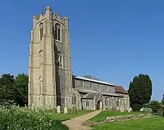
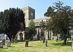
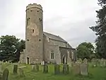
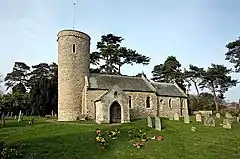
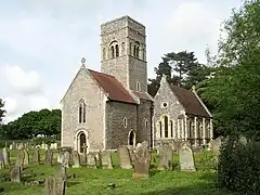
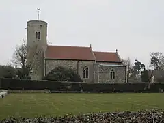
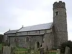
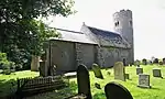
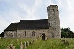
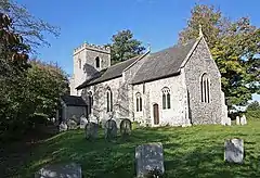
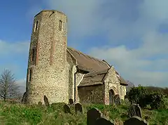
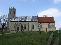
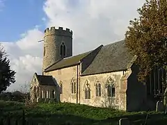
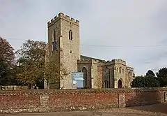
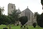
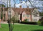
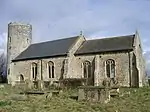
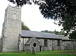
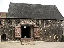
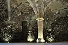
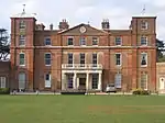
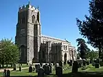
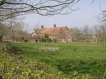
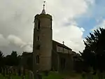
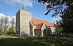
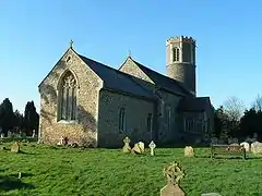
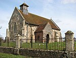
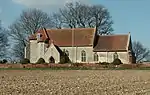
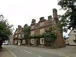
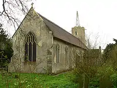
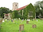
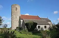
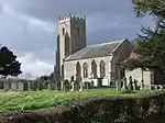
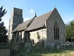
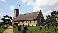
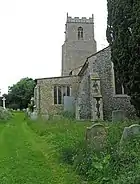
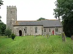
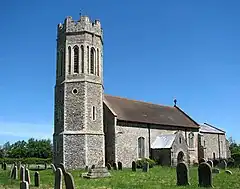
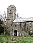
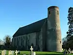
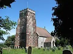
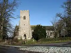
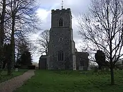
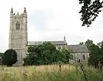
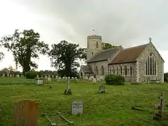
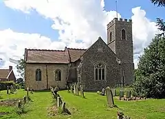
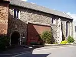
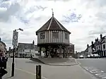
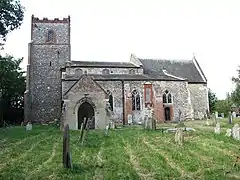
There are over 9,000 Grade I listed buildings in England. This page is a list of these buildings in the district of South Norfolk in Norfolk.
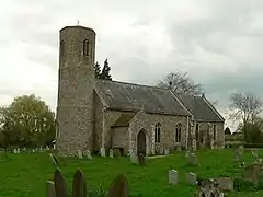
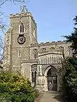
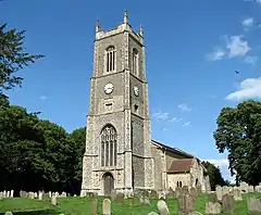
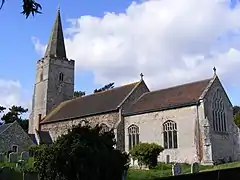
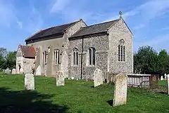
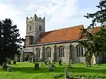
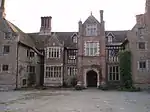
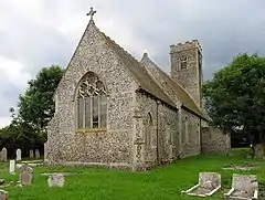
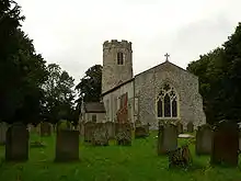
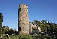
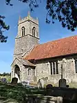
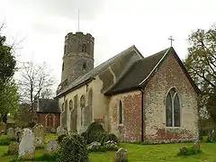
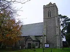
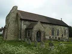
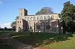
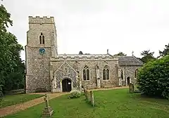
South Norfolk

Name Location Type Completed [note 1]Date designated Grid ref.[note 2]
Geo-coordinates
Entry number [note 3]Image
Church of All Saints AlburghParish Church14th century7 December 1959TM2707987286
52°26′11″N 1°20′21″E / 52.436344°N 1.339286°E / 52.436344; 1.339286 (Church of All Saints)
1373533
Church of All Saints
Church of St Mary AldebyParish Church12th century5 September 1960TM4504693310
52°28′58″N 1°36′27″E / 52.482641°N 1.607483°E / 52.482641; 1.607483 (Church of St Mary)
1050600
Church of St Mary
Church of St Mary
Church of All Saints Ashwellthorpe, Ashwellthorpe and FundenhallTowerLate 13th century7 December 1959TM1467997680
52°32′05″N 1°09′50″E / 52.53465°N 1.163864°E / 52.53465; 1.163864 (Church of All Saints)
1170251
Church of All Saints
Church of St Nicholas Fundenhall, Ashwellthorpe and FundenhallTower12th century7 December 1959TM1526196890
52°31′38″N 1°10′19″E / 52.527329°N 1.17192°E / 52.527329; 1.17192 (Church of St Nicholas)
1306126
Church of St Nicholas
Church of St Michael AslactonChurch11th century7 December 1959TM1563491092
52°28′30″N 1°10′25″E / 52.475138°N 1.173656°E / 52.475138; 1.173656 (Church of St Michael)
1170344
Church of St Michael
Church of St Peter and St Paul Barnham BroomParish Church15th century26 November 1959TG0822907787
52°37′40″N 1°04′31″E / 52.627881°N 1.075262°E / 52.627881; 1.075262 (Church of St Peter and St Paul)
1050739
Church of St Peter and St Paul
The Old Hall Barnham BroomManor House16th century2 October 1951TG0787808050
52°37′49″N 1°04′13″E / 52.630376°N 1.07025°E / 52.630376; 1.07025 (The Old Hall)
1373037
The Old Hall
The Old Hall
Church of St Mary and St Walstan BawburghChurch12th century26 November 1959TG1527008635
52°37′58″N 1°10′47″E / 52.632749°N 1.179678°E / 52.632749; 1.179678 (Church of St Mary and St Walstan)
1050778
Church of St Mary and St Walstan
Church of St Andrew Crow Hill, BedinghamParish Church12th century5 September 1960TM2851193397
52°29′26″N 1°21′52″E / 52.490591°N 1.364496°E / 52.490591; 1.364496 (Church of St Andrew)
1050605
Church of St Andrew
Church of St Andrew
Church of All Saints Hethel, Bracon AshParish Church11th century26 November 1959TG1711300398
52°33′29″N 1°12′05″E / 52.558082°N 1.201467°E / 52.558082; 1.201467 (Church of All Saints)
1050688
Church of All Saints
Church of St Nicholas Bracon AshParish ChurchMedieval26 November 1959TG1795000194
52°33′21″N 1°12′49″E / 52.555917°N 1.21366°E / 52.555917; 1.21366 (Church of St Nicholas)
1050695
Church of St Nicholas
Church of St Andrew Fersfield, BressinghamTowerc.13007 December 1959TM0656082827
52°24′16″N 1°02′07″E / 52.404447°N 1.035148°E / 52.404447; 1.035148 (Church of St Andrew)
1049662
Church of St Andrew
Church of St Andrew
Church of St John the Baptist BressinghamChurchLate 13th century7 December 1959TM0760480754
52°23′08″N 1°02′57″E / 52.385442°N 1.049188°E / 52.385442; 1.049188 (Church of St John the Baptist)
1373587
Church of St John the Baptist
Church of All Saints Thorpe Abbotts, BrockdishChurch13th century26 June 1981TM1876278903
52°21′52″N 1°12′42″E / 52.364488°N 1.211669°E / 52.364488; 1.211669 (Church of All Saints)
1049636
Church of All Saints
Church of St Peter and St Paul BrockdishTower18647 December 1959TM2044279617
52°22′13″N 1°14′12″E / 52.370224°N 1.23677°E / 52.370224; 1.23677 (Church of St Peter and St Paul)
1373573
Church of St Peter and St Paul
Church of St Michael BroomeParish Church14th century5 September 1960TM3466193171
52°29′09″N 1°27′17″E / 52.485954°N 1.454749°E / 52.485954; 1.454749 (Church of St Michael)
1373130
Church of St Michael
Church of St Michael BunwellChurch15th century7 December 1959TM1255492767
52°29′29″N 1°07′46″E / 52.491381°N 1.129446°E / 52.491381; 1.129446 (Church of St Michael)
1373605
Church of St Michael
Church of St George Shimpling, Burston and ShimplingChurchLate 13th century7 December 1959TM1562482641
52°23′57″N 1°10′05″E / 52.399284°N 1.168059°E / 52.399284; 1.168059 (Church of St George)
1171296
Church of All Saints Carleton RodeChurchLate 13th century7 December 1959TM1148692512
52°29′22″N 1°06′49″E / 52.489507°N 1.113578°E / 52.489507; 1.113578 (Church of All Saints)
1305560
Church of All Saints
Church of All Saints ChedgraveParish Church12th century5 September 1960TM3632499370
52°32′27″N 1°29′01″E / 52.540863°N 1.483595°E / 52.540863; 1.483595 (Church of All Saints)
1050520
Church of All Saints
Church of St Andrew ClaxtonParish Church12th century5 September 1960TG3278903192
52°34′36″N 1°26′03″E / 52.576682°N 1.434247°E / 52.576682; 1.434247 (Church of St Andrew)
1373099
Church of St Andrew
Church of St Andrew
Church of St Edmund CostesseyChurch14th century26 November 1959TG1771812452
52°39′58″N 1°13′06″E / 52.666033°N 1.218308°E / 52.666033; 1.218308 (Church of St Edmund)
1305980
Church of St Edmund
Church of St Edmund
Church of St Mary DentonChurchLate 13th century7 December 1959TM2862587345
52°26′10″N 1°21′43″E / 52.436229°N 1.362028°E / 52.436229; 1.362028 (Church of St Mary)
1373626
Church of St Mary
Church of St Mary
Church of St Andrew DeophamParish ChurchLate 14th century to Early 16th century26 November 1959TG0497900474
52°33′48″N 1°01′22″E / 52.563466°N 1.02279°E / 52.563466; 1.02279 (Church of St Andrew)
1373039
Church of St Andrew
Church of St Andrew
Church of All Saints DickleburghChurch14th century7 December 1959TM1677982423
52°23′49″N 1°11′06″E / 52.396871°N 1.184867°E / 52.396871; 1.184867 (Church of All Saints)
1373199
Church of All Saints
Church of St Mary RushallChurch13th century7 December 1959TM1976882652
52°23′52″N 1°13′44″E / 52.397736°N 1.228875°E / 52.397736; 1.228875 (Church of St Mary)
1050387
Church of St Mary
Church of St Mary
Church of St Mary DissParish Church14th century29 December 1950TM1172680021
52°22′38″N 1°06′33″E / 52.377285°N 1.1092°E / 52.377285; 1.1092 (Church of St Mary)
1049757
Church of St Mary
Church of St Mary
Church of St Mary DitchinghamParish Church15th century5 September 1960TM3298292222
52°28′41″N 1°25′46″E / 52.478157°N 1.429406°E / 52.478157; 1.429406 (Church of St Mary)
1050612
Church of St Mary
Church of St Mary
Ditchingham Hall Ditchingham Park, DitchinghamCountry Housec.171525 September 1951TM3205092702
52°28′58″N 1°24′58″E / 52.482861°N 1.416042°E / 52.482861; 1.416042 (Ditchingham Hall)
1153041
Church of All Saints EarshamChurchNorman7 December 1959TM3260188801
52°26′51″N 1°25′17″E / 52.44762°N 1.421422°E / 52.44762; 1.421422 (Church of All Saints)
1050403
Church of All Saints
Soane's Music Room at North-east Corner of the Wilderness North of Earsham Hall EarshamRailings17847 December 1959TM3072190034
52°27′34″N 1°23′41″E / 52.459481°N 1.394662°E / 52.459481; 1.394662 (Soane's Music Room at North-east Corner of the Wilderness North of Earsham Hall)
1152446
Soane's Music Room at North-east Corner of the Wilderness North of Earsham Hall
Church of St. Peter EastonChurchLate 12th century26 November 1959TG1300410968
52°39′16″N 1°08′52″E / 52.654583°N 1.147752°E / 52.654583; 1.147752 (Church of St. Peter)
1305921
Church of St. Peter
Church of St. Peter
Church of St Mary EllinghamParish ChurchMedieval5 September 1960TM3663891848
52°28′24″N 1°28′58″E / 52.47323°N 1.48287°E / 52.47323; 1.48287 (Church of St Mary)
1153134
Church of St Mary
Church of St Mary
Rainthorpe Hall including Garden Wall with Gate and Gate Piers FlordonCountry House15032 October 1951TM2026697144
52°31′39″N 1°14′45″E / 52.52761°N 1.245744°E / 52.52761; 1.245744 (Rainthorpe Hall including Garden Wall with Gate and Gate Piers)
1050699
Rainthorpe Hall including Garden Wall with Gate and Gate Piers
Church of St Mary Forncett St Mary, ForncettChurch13th century7 December 1959TM1662593837
52°29′58″N 1°11′24″E / 52.499385°N 1.190007°E / 52.499385; 1.190007 (Church of St Mary)
1304627
Church of St Mary
Church of St Mary
Church of St Peter Forncett St Peter, ForncettChurch14th century7 December 1959TM1649492826
52°29′25″N 1°11′15″E / 52.490363°N 1.187423°E / 52.490363; 1.187423 (Church of St Peter)
1152619
Church of St Peter
Church of St Peter
Church of St Andrew Framingham EarlChurch11th century26 November 1959TG2774702754
52°34′30″N 1°21′35″E / 52.574884°N 1.359673°E / 52.574884; 1.359673 (Church of St Andrew)
1373174
Church of St Andrew
Church of St Andrew
Church of St Mary GillinghamParish Church12th century5 September 1960TM4115792261
52°28′30″N 1°32′58″E / 52.47496°N 1.54957°E / 52.47496; 1.54957 (Church of St Mary)
1050580
Church of St Mary
Church of St Mary
Church of St Mary GissingChurchLate 11th century7 December 1959TM1462785296
52°25′25″N 1°09′18″E / 52.423508°N 1.155129°E / 52.423508; 1.155129 (Church of St Mary)
1152891
Church of St Mary
Church of St Mary
Church of St Mary HaddiscoeParish Church11th century5 September 1960TM4393196897
52°30′55″N 1°35′37″E / 52.515324°N 1.593724°E / 52.515324; 1.593724 (Church of St Mary)
1169126
Church of St Mary
Church of St Mary
Church of St Matthias Haddiscoe Thorpe, HaddiscoeParish Church16615 September 1960TM4359798097
52°31′34″N 1°35′23″E / 52.52624°N 1.58969°E / 52.52624; 1.58969 (Church of St Matthias)
1306674
Church of St Matthias
Church of St Margaret HalesParish Church12th century5 September 1960TM3835196104
52°30′38″N 1°30′40″E / 52.510674°N 1.511085°E / 52.510674; 1.511085 (Church of St Margaret)
1169239
Church of St Margaret
Church of St Margaret HaptonTower18487 December 1959TM1761196674
52°31′28″N 1°12′23″E / 52.524458°N 1.206363°E / 52.524458; 1.206363 (Church of St Margaret)
1179227
Church of St Margaret
Church of St Gregory HeckinghamParish Church12th century5 September 1960TM3843798845
52°32′07″N 1°30′52″E / 52.535232°N 1.514315°E / 52.535232; 1.514315 (Church of St Gregory)
1169302
Church of St Gregory
Church of St Peter HedenhamChurch14th century5 September 1960TM3120993387
52°29′22″N 1°24′15″E / 52.489365°N 1.404155°E / 52.489365; 1.404155 (Church of St Peter)
1304292
Church of St Peter
Church of St Peter
Hedenham Hall HedenhamCountry HouseLate 16th century25 September 1951TM3124992785
52°29′02″N 1°24′16″E / 52.483946°N 1.404325°E / 52.483946; 1.404325 (Hedenham Hall)
1373118
Hedenham Hall
Hedenham Hall
Church of St John the Baptist HellingtonParish Church12th century5 September 1960TG3134403058
52°34′34″N 1°24′46″E / 52.576095°N 1.412869°E / 52.576095; 1.412869 (Church of St John the Baptist)
1169361
Church of St Margaret HempnallTowerEarly 14th century7 December 1959TM2412194454
52°30′07″N 1°18′02″E / 52.501897°N 1.300661°E / 52.501897; 1.300661 (Church of St Margaret)
1050328
Church of St Margaret
Church of St. Andrew HinghamParish Church1319-5926 November 1959TG0218002125
52°34′46″N 0°58′57″E / 52.579335°N 0.982561°E / 52.579335; 0.982561 (Church of St. Andrew)
1051162
Church of St. Andrew
Church of All Saints Kirby CaneParish ChurchMedieval5 September 1960TM3737294170
52°29′37″N 1°29′43″E / 52.493747°N 1.495309°E / 52.493747; 1.495309 (Church of All Saints)
1153564
Church of All Saints
Kirstead Hall KirsteadCountry HouseEarly 17th century5 September 1960TM2960898680
52°32′15″N 1°23′03″E / 52.537541°N 1.384269°E / 52.537541; 1.384269 (Kirstead Hall)
1170485
Kirstead Hall
Kirstead Hall
Church of St Margaret Hardley Langley with HardleyParish Church12th century5 September 1960TG3853400730
52°33′08″N 1°31′02″E / 52.552103°N 1.517095°E / 52.552103; 1.517095 (Church of St Margaret Hardley)
1050636
Church of St Margaret Hardley
Church of St Michael Langley, Langley with HardleyParish Church14th century5 September 1960TG3550500931
52°33′19″N 1°28′22″E / 52.555225°N 1.472648°E / 52.555225; 1.472648 (Church of St Michael)
1373104
Church of St Michael
Former Western Range to Langley Abbey Langley Green, Langley with HardleyAbbey13th century25 September 1951TG3624302852
52°34′20″N 1°29′06″E / 52.572143°N 1.48488°E / 52.572143; 1.48488 (Former Western Range to Langley Abbey)
1373102
Former Western Range to Langley Abbey
Langley Abbey Remains Langley Green, Langley with HardleyAbbey1195 or later25 September 1951TG3628002854
52°34′20″N 1°29′08″E / 52.572145°N 1.485426°E / 52.572145; 1.485426 (Langley Abbey Remains)
1050634
Langley Park School Langley Park, Langley with HardleyCountry Housec.174025 September 1951TG3512900661
52°33′11″N 1°28′01″E / 52.552964°N 1.466921°E / 52.552964; 1.466921 (Langley Park School)
1306509
Barn South of Hales Hall Hales Green, LoddonBarnLate 15th century25 September 1951TM3691096007
52°30′38″N 1°29′23″E / 52.510432°N 1.489824°E / 52.510432; 1.489824 (Barn South of Hales Hall)
1373161
Upload Photo
Church of Holy Trinity LoddonParish ChurchLate 15th century5 September 1960TM3634298724
52°32′06″N 1°29′00″E / 52.535058°N 1.4834°E / 52.535058; 1.4834 (Church of Holy Trinity)
1373159
Church of Holy Trinity
Hales Hall Hales Green, LoddonCountry HouseLate 15th century25 September 1951TM3694996080
52°30′40″N 1°29′26″E / 52.51107°N 1.490449°E / 52.51107; 1.490449 (Hales Hall)
1169558
Church of St Mary Long StrattonParish Church12th century7 December 1959TM1968592268
52°29′03″N 1°14′02″E / 52.48408°N 1.233977°E / 52.48408; 1.233977 (Church of St Mary)
1304232
Church of St Mary
Church of St Mary
Church of St Michael Stratton St Michael, Long StrattonBell Tower14th century26 June 1981TM2057693607
52°29′45″N 1°14′53″E / 52.495739°N 1.247962°E / 52.495739; 1.247962 (Church of St Michael)
1304267
Church of St Michael
Morley Old Hall MorleyHousec.16002 October 1951TM0558398388
52°32′40″N 1°01′49″E / 52.544512°N 1.030396°E / 52.544512; 1.030396 (Morley Old Hall)
1050714
Church of St Catherine Fritton, Morning ThorpeChurch12th century7 December 1959TM2275193285
52°29′31″N 1°16′47″E / 52.491966°N 1.279731°E / 52.491966; 1.279731 (Church of St Catherine)
1373281
Church of St Catherine
Church of St John the Baptist Morning ThorpeChurch14th century7 December 1959TM2184492556
52°29′09″N 1°15′57″E / 52.485792°N 1.265909°E / 52.485792; 1.265909 (Church of St John the Baptist)
1154001
Church of St John the Baptist
Church of St Peter MundhamParish Church12th century5 September 1960TM3248498024
52°31′50″N 1°25′34″E / 52.530436°N 1.426136°E / 52.530436; 1.426136 (Church of St Peter)
1305975
Church of St Peter
Church of St Peter
Church of St Peter NeedhamChurchNorman7 December 1959TM2310781912
52°23′23″N 1°16′39″E / 52.389745°N 1.277375°E / 52.389745; 1.277375 (Church of St Peter)
1154114
Church of St Peter
Church of St Peter
Church of St Mary Norton SubcourseParish ChurchEarlier5 September 1960TM4076298646
52°31′57″N 1°32′54″E / 52.532424°N 1.548381°E / 52.532424; 1.548381 (Church of St Mary)
1306333
Church of St Mary
Church of St Mary
Church of All Saints PoringlandParish ChurchLate 12th century26 November 1959TG2708101701
52°33′57″N 1°20′57″E / 52.565712°N 1.349142°E / 52.565712; 1.349142 (Church of All Saints)
1050466
Church of All Saints
Church of St Mary Magdalene Pulham MarketParish Church14th century7 December 1959TM1970186076
52°25′43″N 1°13′49″E / 52.428496°N 1.230139°E / 52.428496; 1.230139 (Church of St Mary Magdalene)
1155029
Church of St Mary Magdalene
Church of St Mary Pulham St MaryChurchMid 13th century7 December 1959TM2123285271
52°25′14″N 1°15′08″E / 52.420654°N 1.252086°E / 52.420654; 1.252086 (Church of St Mary)
1050185
Church of St Mary
Church of St Mary
Church of St Remigius RoydonChurchNorman7 December 1959TM0961080378
52°22′53″N 1°04′42″E / 52.381303°N 1.078384°E / 52.381303; 1.078384 (Church of St Remigius)
1050237
Church of St Remigius
Church of St Andrew, Frenze Frenze, ScoleBell TowerModern7 December 1959TM1353880425
52°22′49″N 1°08′10″E / 52.380209°N 1.136035°E / 52.380209; 1.136035 (Church of St Andrew, Frenze)
1050244
Church of St Leonard, Billingford Billingford, ScoleChurchEarly 14th century7 December 1959TM1681479062
52°22′00″N 1°11′00″E / 52.366688°N 1.183208°E / 52.366688; 1.183208 (Church of St Leonard, Billingford)
1050112
Church of St Leonard, Billingford
Scole Inn ScoleInnMid 17th century11 September 1951TM1492878901
52°21′58″N 1°09′20″E / 52.365985°N 1.155448°E / 52.365985; 1.155448 (Scole Inn)
1303017
Scole Inn
Scole Inn
Church of All Saints ShelfangerTowerEarly 14th century7 December 1959TM1073783660
52°24′37″N 1°05′49″E / 52.410333°N 1.09698°E / 52.410333; 1.09698 (Church of All Saints)
1373360
Church of All Saints
Church of St Margaret Hardwick, Shelton and HardwickChurchNorman7 December 1959TM2231090092
52°27′49″N 1°16′16″E / 52.463487°N 1.271118°E / 52.463487; 1.271118 (Church of St Margaret)
1156827
Church of St Margaret
Church of St Mary Shelton and HardwickTowerLate 14th century7 December 1959TM2209891041
52°28′20″N 1°16′07″E / 52.472091°N 1.268635°E / 52.472091; 1.268635 (Church of St Mary)
1050096
Church of St Mary
Church of St Mary
The Hall Shotesham Park, ShoteshamCountry House178426 November 1959TM2247998802
52°32′30″N 1°16′46″E / 52.541593°N 1.27942°E / 52.541593; 1.27942 (The Hall)
1304783
Upload Photo
Church of St Margaret StarstonChurch14th century7 December 1959TM2349784386
52°24′42″N 1°17′05″E / 52.411791°N 1.284746°E / 52.411791; 1.284746 (Church of St Margaret)
1050064
Church of St Margaret
Church of St Michael StocktonParish Church12th century5 September 1960TM3876894117
52°29′34″N 1°30′57″E / 52.492663°N 1.515794°E / 52.492663; 1.515794 (Church of St Michael)
1050593
Church of St Michael
Church of All Saints TacolnestonChurch14th century7 December 1959TM1495195534
52°30′55″N 1°09′59″E / 52.51528°N 1.166481°E / 52.51528; 1.166481 (Church of All Saints)
1178820
Church of All Saints
Church of St Mary TasburghChurchPerpendicular7 December 1959TM2011195887
52°30′59″N 1°14′33″E / 52.516391°N 1.242631°E / 52.516391; 1.242631 (Church of St Mary)
1302231
Church of St Mary
Church of St Mary
Church of St Mary Tharston and HaptonChurch14th century7 December 1959TM1903094274
52°30′08″N 1°13′32″E / 52.502348°N 1.225665°E / 52.502348; 1.225665 (Church of St Mary)
1373411
Church of St Mary
Church of St Mary
Church of All Saints ThurltonParish Church12th century5 September 1960TM4171598301
52°31′44″N 1°33′44″E / 52.528907°N 1.562152°E / 52.528907; 1.562152 (Church of All Saints)
1050485
Church of All Saints
Church of St Ethelbert ThurtonParish Church12th century5 September 1960TG3279800658
52°33′14″N 1°25′57″E / 52.553938°N 1.432602°E / 52.553938; 1.432602 (Church of St Ethelbert)
1050637
Church of St Ethelbert
Church of All Saints TibennamTower15th century7 December 1959TM1348489896
52°27′55″N 1°08′29″E / 52.465247°N 1.141285°E / 52.465247; 1.141285 (Church of All Saints)
1049992
Church of All Saints
Church of St Margaret Tivetshall St MargaretTower14th century7 December 1959TM1637187041
52°26′19″N 1°10′55″E / 52.438485°N 1.181865°E / 52.438485; 1.181865 (Church of St Margaret)
1373033
Church of St Margaret
Church of St Margaret Toft MonksParish ChurchLate C13/Early 13th century5 September 1960TM4263395268
52°30′05″N 1°34′24″E / 52.501286°N 1.573447°E / 52.501286; 1.573447 (Church of St Margaret)
1373125
Church of St Margaret
Church of St Andrew Trowse with NewtonParish Church13th century26 November 1959TG2455106864
52°36′47″N 1°18′55″E / 52.613098°N 1.315379°E / 52.613098; 1.315379 (Church of St Andrew)
1050444
Church of St Andrew
Church of St Andrew
Church of All Saints WactonChurch12th century7 December 1959TM1798491747
52°28′48″N 1°12′31″E / 52.480085°N 1.208627°E / 52.480085; 1.208627 (Church of All Saints)
1372999
Church of All Saints
Church of All Saints WheatacreParish ChurchMedieval5 September 1960TM4606493941
52°29′16″N 1°37′22″E / 52.487845°N 1.622909°E / 52.487845; 1.622909 (Church of All Saints)
1050598
Church of All Saints
Church of All Saints WicklewoodParish Church15th century29 November 1959TG0697702337
52°34′46″N 1°03′12″E / 52.579435°N 1.053385°E / 52.579435; 1.053385 (Church of All Saints)
1152202
Church of All Saints
Church of St Mary WinfarthingChurch14th century7 December 1959TM1093285713
52°25′43″N 1°06′04″E / 52.428688°N 1.101137°E / 52.428688; 1.101137 (Church of St Mary)
1180035
Church of St Mary
Church of St Mary
Church of St Mary Redenhall, WortwellParish Church14th century7 December 1959TM2639884378
52°24′38″N 1°19′38″E / 52.410527°N 1.327318°E / 52.410527; 1.327318 (Church of St Mary)
1050134
Church of St Mary
Church of St Mary
Church of St Peter and St Paul WramplinghamParish Church12th century29 November 1959TG1132606053
52°36′40″N 1°07′11″E / 52.61112°N 1.119841°E / 52.61112; 1.119841 (Church of St Peter and St Paul)
1152304
Church of St Peter and St Paul
Church of All Saints WreninghamParish ChurchMedieval26 November 1959TM1633398810
52°32′39″N 1°11′20″E / 52.544139°N 1.188946°E / 52.544139; 1.188946 (Church of All Saints)
1050651
Church of All Saints
Abbey Church of St Mary and St Thomas of Canterbury WymondhamTower1390-140929 December 1950TG1068601497
52°34′14″N 1°06′27″E / 52.570471°N 1.107507°E / 52.570471; 1.107507 (Abbey Church of St Mary and St Thomas of Canterbury)
1297494
Cavick House including Front Screen Walls WymondhamHouseEarly 18th century29 December 1950TG1023801265
52°34′07″N 1°06′03″E / 52.568562°N 1.100759°E / 52.568562; 1.100759 (Cavick House including Front Screen Walls)
1196716
Upload Photo
County Library WymondhamChapel/LibraryLate 15th century29 December 1950TG1087601562
52°34′16″N 1°06′37″E / 52.570981°N 1.110347°E / 52.570981; 1.110347 (County Library)
1297495
County Library
County Library
Market Cross WymondhamMarket Cross1617-1829 December 1950TG1107001472
52°34′12″N 1°06′47″E / 52.570098°N 1.113148°E / 52.570098; 1.113148 (Market Cross)
1196678
Market Cross
Market Cross
Church of St Mary YelvertonParish Church12th century5 September 1960TG2923402186
52°34′09″N 1°22′52″E / 52.569162°N 1.381185°E / 52.569162; 1.381185 (Church of St Mary)
1050639
Church of St Mary
Church of St Mary

Notes

  1. The date given is the date used by Historic England as significant for the initial building or that of an important part in the structure's description.
  2. Sometimes known as OSGB36, the grid reference is based on the British national grid reference system used by the Ordnance Survey.
  3. The "List Entry Number" is a unique number assigned to each listed building and scheduled monument by Historic England.
This article is issued from Wikipedia. The text is licensed under Creative Commons - Attribution - Sharealike. Additional terms may apply for the media files.