| Gourie Cave | |
|---|---|
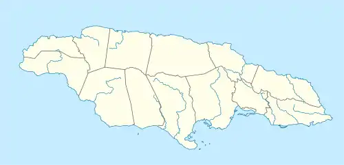 | |
| Location | Manchester Parish, Jamaica |
| Coordinates | 18°11′40″N 77°30′38″W / 18.194456°N 77.5106049°W[1] |
| Depth | 90 metres (300 ft)[1] |
| Length | 3,505 metres (11,499 ft)[1] |
| Entrances | 3[1] |
| Hazards | Flood risk[1] |
Gourie Cave is a large river cave in Manchester Parish in west-central Jamaica. At 3505 meters it is the longest cave known in the island.[1][2] It is susceptible to flooding.[1]
See also
External links
References
- 1 2 3 4 5 6 7 Stewart, R S (2007-02-16). "Gourie Cave - Field Notes". Jamaican Caves Organisation. Retrieved 2009-09-14.
- ↑ Van Rentergem, Guy. "Why Jamaica?". Guy Van Rentergem. Retrieved 2009-09-14.
This article is issued from Wikipedia. The text is licensed under Creative Commons - Attribution - Sharealike. Additional terms may apply for the media files.