Gorenje | |
|---|---|
 | |
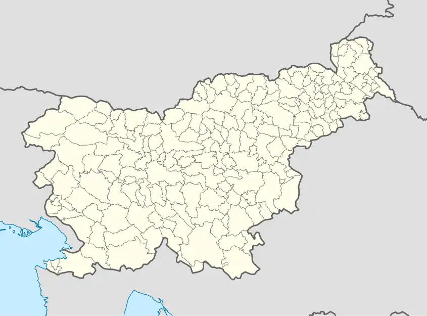 Gorenje Location in Slovenia | |
| Coordinates: 45°51′6.88″N 14°8′14.99″E / 45.8519111°N 14.1374972°E | |
| Country | |
| Traditional region | Inner Carniola |
| Statistical region | Littoral–Inner Carniola |
| Municipality | Postojna |
| Area | |
| • Total | 21.02 km2 (8.12 sq mi) |
| Elevation | 776.5 m (2,547.6 ft) |
| Population (2002) | |
| • Total | 108 |
| [1] | |
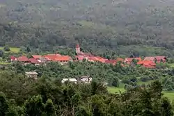
Gorenje (pronounced [ɡɔˈɾeːnjɛ]; Italian: Goregna) is a village in the hills northwest of Postojna in the Inner Carniola region of Slovenia.[2]
Name
The name Gorenje is shared by several settlements in Slovenia. It arose through ellipsis of Gorenje selo (literally, 'upper village'), denoting the elevation of the place in relation to a neighboring settlement.[3] Gorenje stands about 127 meters (417 ft) higher than Bukovje, the nearest neighboring village.
Church
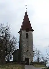
Saint Leonard's Church
The local church in the settlement is dedicated to Saint Leonard and belongs to the Parish of Studeno.[4]
References
- ↑ Statistical Office of the Republic of Slovenia
- ↑ Postojna municipal site
- ↑ Snoj, Marko (2009). Etimološki slovar slovenskih zemljepisnih imen. Ljubljana: Modrijan. pp. 143–144.
- ↑ Koper Diocese list of churches Archived 2009-03-06 at the Wayback Machine
External links
 Media related to Gorenje at Wikimedia Commons
- Gorenje on Geopedia
| Settlements | Administrative seat: Postojna
|  |
|---|---|---|
| Landmarks |
| |
| Notable people |
| |
This article is issued from Wikipedia. The text is licensed under Creative Commons - Attribution - Sharealike. Additional terms may apply for the media files.