Genga | |
|---|---|
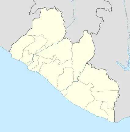 Genga Location in Liberia | |
| Coordinates: 8°22′37″N 10°16′55″W / 8.37694°N 10.28194°W | |
| Country | |
| County | Lofa County |
| District | Kolahun District |
Genga is a village in northern Liberia. It is in the Kolahun District of Lofa County.
To the west is the border with Sierra Leone, whilst the border with Guinea is to the north. Mount Wuteve is 40 km to the SE.
Genga lies in a valley at an altitude of 432 meters, Lat 8°22'37"N, Long 10°16'55"W.
An alternate name is Geinga.[1]
References
8°22′37″N 10°15′55″W / 8.37694°N 10.26528°W
This article is issued from Wikipedia. The text is licensed under Creative Commons - Attribution - Sharealike. Additional terms may apply for the media files.