Gambolò | |
|---|---|
| Comune di Gambolò | |
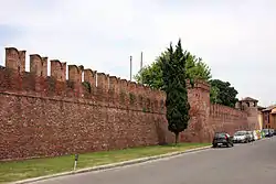 View of the castle's walls. | |
 Coat of arms | |
Location of Gambolò | |
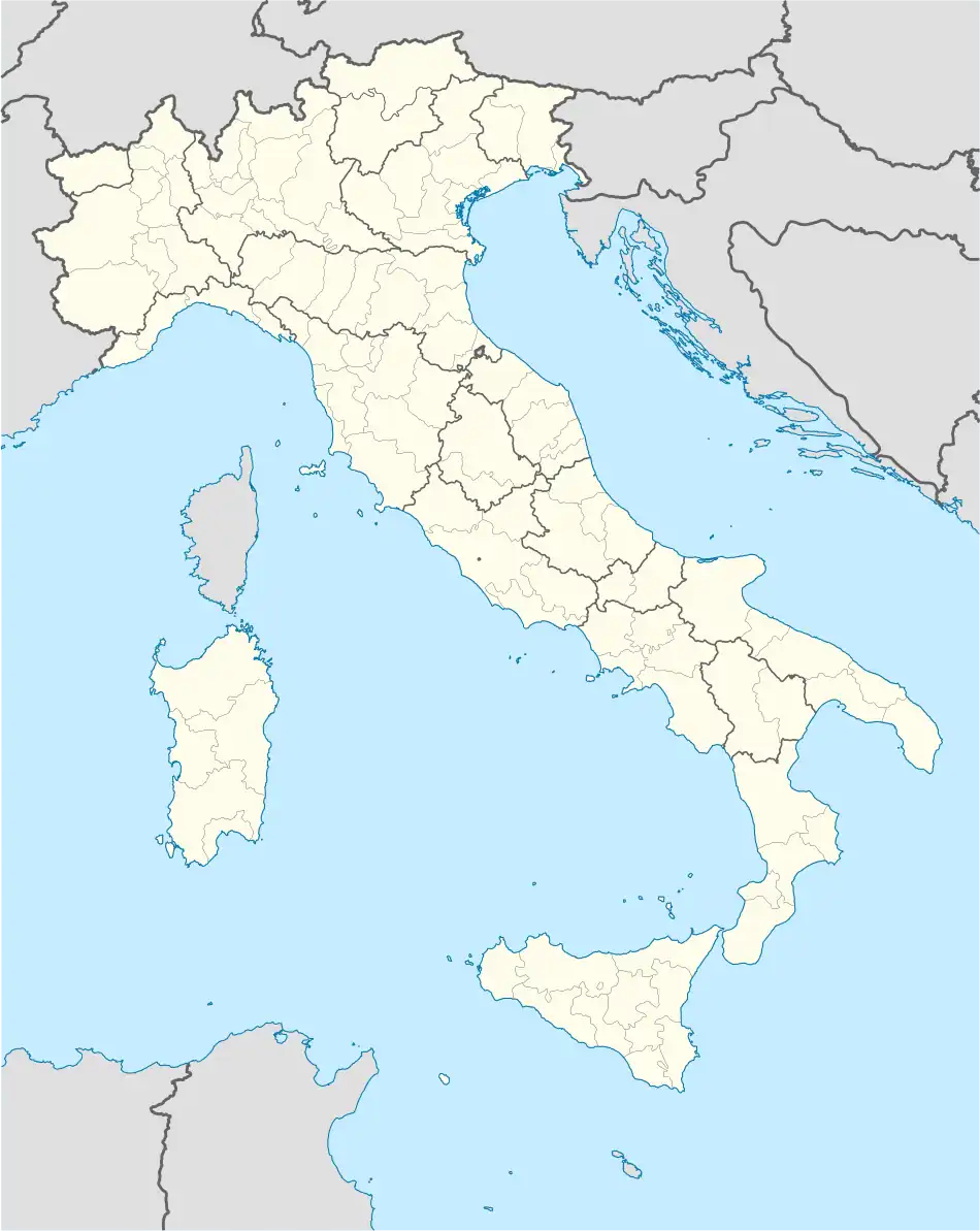 Gambolò Location of Gambolò in Italy 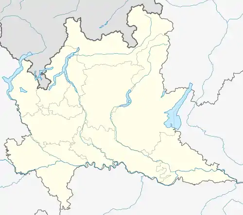 Gambolò Gambolò (Lombardy) | |
| Coordinates: 45°15′N 8°52′E / 45.250°N 8.867°E | |
| Country | Italy |
| Region | Lombardy |
| Province | Pavia (PV) |
| Frazioni | Belcreda, Garbana, Remondò, Stradella |
| Government | |
| • Mayor | Antonio Costantino |
| Area | |
| • Total | 51.7 km2 (20.0 sq mi) |
| Elevation | 104 m (341 ft) |
| Population | |
| • Total | 9,648 |
| • Density | 190/km2 (480/sq mi) |
| Demonym | Gambolesi or Gambolini |
| Time zone | UTC+1 (CET) |
| • Summer (DST) | UTC+2 (CEST) |
| Postal code | 27025 |
| Dialing code | 0381 |
| Website | Official website |
Gambolò is a comune (municipality) in the Province of Pavia in the Italian region Lombardy, located about 35 kilometres (22 miles) southwest of Milan and about 25 km (16 mi) northwest of Pavia.
Gambolò borders the following municipalities: Borgo San Siro, Mortara, Tromello, Vigevano. Sights include the Litta Castle, the parish church of Sts. Eusebius and Gaudentius (in neo-medieval style) and the Pieve of Sant'Eusebio.
Twin towns
References
- ↑ "Superficie di Comuni Province e Regioni italiane al 9 ottobre 2011". Italian National Institute of Statistics. Retrieved 16 March 2019.
- ↑ All demographics and other statistics: Italian statistical institute Istat.
- ↑ "Popolazione Residente al 1° Gennaio 2018". Italian National Institute of Statistics. Retrieved 16 March 2019.
This article is issued from Wikipedia. The text is licensed under Creative Commons - Attribution - Sharealike. Additional terms may apply for the media files.