Front Royal–Warren County Airport | |||||||||||
|---|---|---|---|---|---|---|---|---|---|---|---|
| Summary | |||||||||||
| Airport type | Public | ||||||||||
| Owner | County of Warren | ||||||||||
| Serves | Front Royal, Virginia | ||||||||||
| Elevation AMSL | 709 ft / 216 m | ||||||||||
| Coordinates | 38°55′03″N 078°15′12″W / 38.91750°N 78.25333°W | ||||||||||
| Website | Front Royal-Warren County Airport | ||||||||||
| Map | |||||||||||
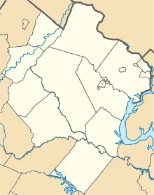 FRR 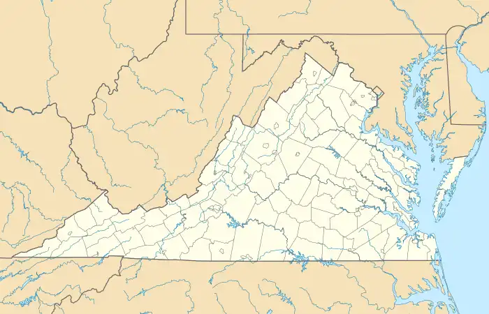 FRR | |||||||||||
| Runways | |||||||||||
| |||||||||||
| Statistics (2020) | |||||||||||
| |||||||||||
Front Royal–Warren County Airport (IATA: FRR[2], ICAO: KFRR, FAA LID: FRR) is a public airport three miles west of Front Royal in Warren County, Virginia.[1] The National Plan of Integrated Airport Systems for 2011–2015 categorized it as a general aviation facility.[3]
Facilities
The airport covers 90 acres (36 ha) at an elevation of 709 feet (216 m). Its single runway, 10/28, is 3,008 by 75 feet (917 x 23 m) asphalt.[1]
In the year ending 31 December 2022, the airport had 16,334 aircraft operations, average 45 per day: 93% general aviation, 3% military, and 4% air taxi. 49 aircraft were then based at the airport: 24 single-engine, 20 gliders, 2 ultralight, 3 helicopters and no multi-engine or jet.[1]
References
- 1 2 3 4 FAA Airport Form 5010 for FRR PDF. Federal Aviation Administration. Effective November 02, 2023.
- ↑ "Airline and Airport Code Search (FRR: Front Royal / Warren County)". International Air Transport Association (IATA). Retrieved June 4, 2013.
- ↑ "2011–2015 NPIAS Report, Appendix A" (PDF). National Plan of Integrated Airport Systems. Federal Aviation Administration. October 4, 2010. Archived from the original (PDF, 2.03 MB) on 2012-09-27.
External links
- Front Royal–Warren County Airport at Virginia Aviation Online
- Aerial image as of April 2001 from USGS The National Map
- FAA Terminal Procedures for FRR, effective December 28, 2023
- Resources for this airport:
- FAA airport information for FRR
- AirNav airport information for KFRR
- ASN accident history for FRR
- FlightAware airport information and live flight tracker
- SkyVector aeronautical chart for KFRR
This article is issued from Wikipedia. The text is licensed under Creative Commons - Attribution - Sharealike. Additional terms may apply for the media files.