Framingham Centre Common Historic District | |
 | |
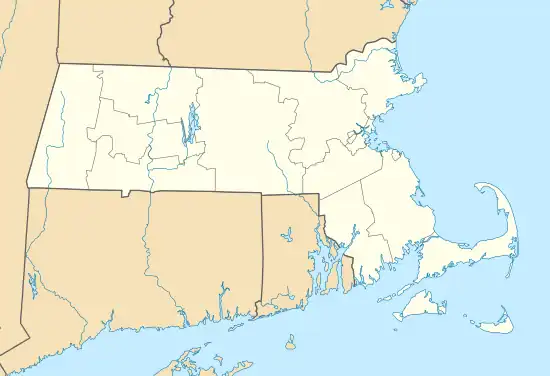  | |
| Location | Framingham, Massachusetts |
|---|---|
| Coordinates | 42°18′13″N 71°26′8″W / 42.30361°N 71.43556°W |
| Architect | Willard, Solomon; Et al. |
| Architectural style | Greek Revival, Italianate, Federal |
| NRHP reference No. | 90001564 [1] |
| Added to NRHP | October 25, 1990 |
The Framingham Centre Common Historic District encompasses the historic early center of Framingham, Massachusetts. It is centered on the old town common, which is west of Edgell Road, a short way north of the busy commercial corridor of Massachusetts Route 9.[2] The district includes 28 buildings, among them important early civic structures such as the Village Hall, old Edgell Memorial Library, First Parish Church, and the former Framingham Academy building.[3]
The district was listed on the National Register of Historic Places in 1990.[1]
See also
References
- 1 2 "National Register Information System". National Register of Historic Places. National Park Service. April 15, 2008.
- ↑ "MACRIS inventory record for Framingham Centre Common Historic District". Commonwealth of Massachusetts. Retrieved May 10, 2014.
- ↑ "Town of Framingham Historic Preservation Plan, 2002". Town of Framingham. Retrieved May 1, 2015.
Wikimedia Commons has media related to Framingham Centre Common Historic District.
| Topics |  | ||||||||||||||||
|---|---|---|---|---|---|---|---|---|---|---|---|---|---|---|---|---|---|
| Lists by county | |||||||||||||||||
| Lists by city |
| ||||||||||||||||
| Other lists | |||||||||||||||||
| Articles |  Minuteman statue at the intersection of Main St. and Union Ave. | ||||||||||||
|---|---|---|---|---|---|---|---|---|---|---|---|---|---|
| Related Subjects |
| ||||||||||||
| Businesses | |||||||||||||
| People | |||||||||||||
| Neighboring Communities | |||||||||||||
This article is issued from Wikipedia. The text is licensed under Creative Commons - Attribution - Sharealike. Additional terms may apply for the media files.