| Football Mountain | |
|---|---|
 Football Mountain | |
| Highest point | |
| Elevation | 830 m (2,720 ft)[1] |
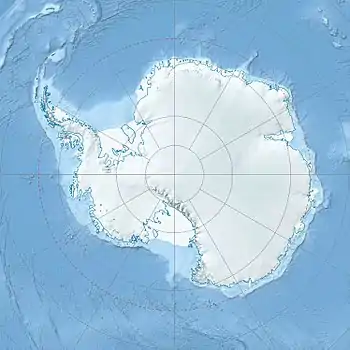
| Coordinates | 72°31′S 169°42′E / 72.517°S 169.700°E[1] |
| Geography | |
| Location | Borchgrevink Coast, Victoria Land, Antarctica |
Football Mountain is a mountain, 830 metres (2,720 ft) high, with a prominent and peculiar rock scar called The Football on its north side, on the ridge between Edisto Inlet and Tucker Glacier in Antarctica. It was occupied as a survey station, and marked by a large rock cairn, by the New Zealand Geological Survey Antarctic Expedition, 1957–58, who named it for The Football.[2]
The pass Football Saddle is the easiest way to cross by sledge.[3]
See also
References
- 1 2 Football Mountain Composite Gazetteer of Antarctica
- ↑ "Football Mountain". Geographic Names Information System. United States Geological Survey, United States Department of the Interior. Retrieved 2012-03-29.
- ↑ "Football Saddle". Geographic Names Information System. United States Geological Survey, United States Department of the Interior. Retrieved 2012-03-29.
![]() This article incorporates public domain material from "Football Mountain". Geographic Names Information System. United States Geological Survey.
This article incorporates public domain material from "Football Mountain". Geographic Names Information System. United States Geological Survey.
This article is issued from Wikipedia. The text is licensed under Creative Commons - Attribution - Sharealike. Additional terms may apply for the media files.