| Fontanalba | |
|---|---|
  | |
| Location | |
| Country | France |
| Physical characteristics | |
| Mouth | |
• location | Bieugne |
• coordinates | 44°5′49″N 7°30′26″E / 44.09694°N 7.50722°E |
| Length | 4.9 km (3.0 mi) |
| Basin features | |
| Progression | Bieugne→ Roya→ Ligurian Sea |
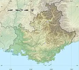
The Fontanalba is a short mountain river that flows through the Alpes-Maritimes department of southeastern France. It is 4.9 km (3.0 mi) long.[1] It flows in the mountains west of Tende. It is a tributary of the Bieugne, which is a tributary of the Roya. Together with the Vallée des merveilles on the west side of Mont Bégo, the Fontanalba valley forms a protected area, known for Bronze Age petroglyphs.[2]
References
This article is issued from Wikipedia. The text is licensed under Creative Commons - Attribution - Sharealike. Additional terms may apply for the media files.