 | |
|---|---|
| Kantatie 51, Stamväg 51 | |
 | |
| Route information | |
| Maintained by the Finnish Transport Agency | |
| Length | 74 km (46 mi) |
| Major junctions | |
| From | Helsinki |
| To | Raseborg |
| Location | |
| Country | Finland |
| Major cities | Espoo |
| Highway system | |
The Finnish national road 51 (Finnish: Kantatie 51; Swedish: Stamväg 51) is the 2nd class main route between the major cities of Helsinki and Raseborg in southern Finland.[1] It runs from Ruoholahti in Helsinki and passes through Espoo to Kirkkonummi as a motorway[2] called Länsiväylä (Swedish: Västerleden), where it continues to Karis in Raseborg as a smaller road.
Route
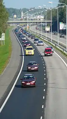
Finnish national road 51 in Nöykkiö, Espoo.
The road passes through the following localities:
- Helsinki (Ruoholahti and Lauttasaari)
- Espoo (Keilaniemi, Matinkylä and Nöykkiö)
- Kirkkonummi (Sarsvik, Jorvas, Kirkkonummi, and Vuohimäki)
- Siuntio (Fågelvik)
- Ingå (Degerby and Ingå)
- Raseborg) (Svarvarböle and Karis)
References
- ↑ Kantatie 51 (in Finnish)
- ↑ Uusi moottoritie Kirkkonummella valmistui kokonaisuudessaan (in Finnish)
External links
 Media related to National road 51 (Finland) at Wikimedia Commons
This article is issued from Wikipedia. The text is licensed under Creative Commons - Attribution - Sharealike. Additional terms may apply for the media files.