Fair Oaks, Fairfax County, Virginia | |
|---|---|
 Fair Oaks Mall | |
 Fair Oaks Location within Fairfax county  Fair Oaks Fair Oaks (Virginia)  Fair Oaks Fair Oaks (the United States) | |
| Coordinates: 38°51′57″N 77°21′33″W / 38.86583°N 77.35917°W | |
| Country | United States |
| State | Virginia |
| County | Fairfax |
| Area | |
| • Total | 5.1 sq mi (13.1 km2) |
| • Land | 5.0 sq mi (13.0 km2) |
| • Water | 0.04 sq mi (0.1 km2) |
| Elevation | 420 ft (130 m) |
| Population (2010) | |
| • Total | 30,223 |
| • Density | 6,043/sq mi (2,333.4/km2) |
| Time zone | UTC−5 (Eastern (EST)) |
| • Summer (DST) | UTC−4 (EDT) |
| ZIP codes | 22033, 22030 |
| FIPS code | 51-26875 |
| GNIS feature ID | 2584845 |
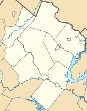
Fair Oaks is a census-designated place in Fairfax County, Virginia, United States. The population as of the 2010 census was 30,223.[1] It encompasses a large area west of the city of Fairfax, centered on Fair Oaks Mall. Suburban neighborhoods and office parks occupy most of Fair Oaks, largely developed since the 1980s.
The Fair Oaks CDP is bordered by Fair Lakes and Greenbriar to the west, and by Oakton and Fairfax city to the east. The Fair Oaks Mall is at the center of the CDP, in the angle formed by U.S. Route 50 to the northeast and Interstate 66 to the south, which intersect at I-66's Exit 57. I-66 leads east 19 miles (31 km) to Washington, D.C., and west 61 miles (98 km) to Strasburg, Virginia. U.S. 50 leads east into Fairfax and Washington and northwest 53 miles (85 km) to Winchester, Virginia. U.S. Route 29 forms the southern border of the CDP, leading east into Fairfax and Washington and west 17 miles (27 km) to Gainesville.
According to the U.S. Census Bureau, the Fair Oaks CDP has a total area of 5.1 square miles (13.1 km2), of which 5.0 square miles (13.0 km2) is land and 0.04 square miles (0.1 km2), or 0.99%, is water.[1]
References
- 1 2 "Geographic Identifiers: 2010 Demographic Profile Data (G001): Fair Oaks CDP, Virginia". U.S. Census Bureau, American Factfinder. Retrieved September 23, 2016.
