This is a list of the extreme points of Luxembourg, the points that are farther north, south, east or west, higher or lower than any other location in the territory of the state.

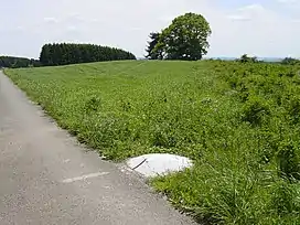
The northernmost point of Luxembourg
Latitude and longitude
- Northernmost point — in Troisvierges, Clervaux Canton (50°10′58.6″N 6°1′28.66″E / 50.182944°N 6.0246278°E)
- Southernmost point — near Rumelange, Esch-sur-Alzette Canton (49°26′52″N 6°02′0″E / 49.44778°N 6.03333°E)
- Easternmost point — on Sauer River in Rosport-Mompach, Echternach Canton (49°49′N 6°32′E / 49.817°N 6.533°E)
- Westernmost point — near Surré, Wiltz Canton (49°54′N 5°44′E / 49.900°N 5.733°E)
- Geographical Center — near Bissen (49°46′38″N 6°5′43″E / 49.77722°N 6.09528°E)
Kneiff, the highest point in the country
Elevation
- Highest point — Kneiff, in Troisvierges (559.8 m) (50°09.439′N 6°02.220′E / 50.157317°N 6.037000°E)
- Lowest point — confluence of Sauer and Moselle Rivers, in Wasserbillig (129.9 m) (49°42′47″N 6°30′23″E / 49.713°N 6.5065°E)
See also
This article is issued from Wikipedia. The text is licensed under Creative Commons - Attribution - Sharealike. Additional terms may apply for the media files.