Eureka River
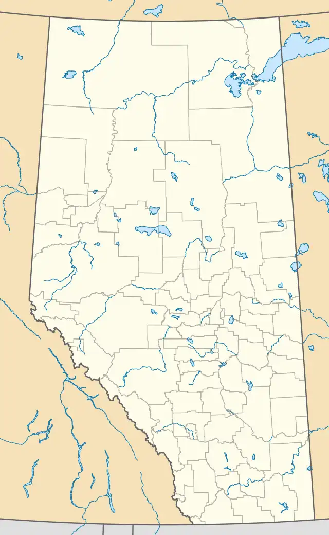
Location of Eureka River Alberta
Eureka River is an unincorporated community in northern Alberta in Clear Hills County, located 10 kilometres (6.2 mi) north of Highway 64, 142 kilometres (88 mi) north of Grande Prairie.
Climate
| Climate data for Eureka River | |||||||||||||
|---|---|---|---|---|---|---|---|---|---|---|---|---|---|
| Month | Jan | Feb | Mar | Apr | May | Jun | Jul | Aug | Sep | Oct | Nov | Dec | Year |
| Record high °C (°F) | 8.0 (46.4) |
10.6 (51.1) |
13.5 (56.3) |
29.4 (84.9) |
30.6 (87.1) |
32.2 (90.0) |
33.5 (92.3) |
34.0 (93.2) |
30.0 (86.0) |
25.5 (77.9) |
21.0 (69.8) |
17.5 (63.5) |
34.0 (93.2) |
| Mean daily maximum °C (°F) | −10.8 (12.6) |
−6.4 (20.5) |
0.0 (32.0) |
9.5 (49.1) |
16.5 (61.7) |
20.2 (68.4) |
22.1 (71.8) |
20.7 (69.3) |
15.3 (59.5) |
7.3 (45.1) |
−4.3 (24.3) |
−9.1 (15.6) |
6.8 (44.2) |
| Daily mean °C (°F) | −16.9 (1.6) |
−13.2 (8.2) |
−7.1 (19.2) |
2.6 (36.7) |
8.9 (48.0) |
13.1 (55.6) |
15.0 (59.0) |
13.4 (56.1) |
8.3 (46.9) |
1.3 (34.3) |
−9.7 (14.5) |
−15.1 (4.8) |
0.0 (32.0) |
| Mean daily minimum °C (°F) | −23.0 (−9.4) |
−20.0 (−4.0) |
−14.2 (6.4) |
−4.3 (24.3) |
1.2 (34.2) |
5.8 (42.4) |
7.8 (46.0) |
6.1 (43.0) |
1.2 (34.2) |
−4.7 (23.5) |
−15.1 (4.8) |
−21.1 (−6.0) |
−6.7 (19.9) |
| Record low °C (°F) | −49.5 (−57.1) |
−48.3 (−54.9) |
−45.0 (−49.0) |
−30.6 (−23.1) |
−12.0 (10.4) |
−6.0 (21.2) |
−1.5 (29.3) |
−6.0 (21.2) |
−21.7 (−7.1) |
−32.5 (−26.5) |
−41.0 (−41.8) |
−51.0 (−59.8) |
−51.0 (−59.8) |
| Average precipitation mm (inches) | 26.2 (1.03) |
19.4 (0.76) |
19.3 (0.76) |
17.9 (0.70) |
43.4 (1.71) |
73.3 (2.89) |
79.2 (3.12) |
55.5 (2.19) |
32.3 (1.27) |
23.4 (0.92) |
25.3 (1.00) |
21.0 (0.83) |
436.2 (17.17) |
| Average rainfall mm (inches) | 0.1 (0.00) |
0.4 (0.02) |
1.2 (0.05) |
9.7 (0.38) |
40.2 (1.58) |
73.3 (2.89) |
79.2 (3.12) |
55.5 (2.19) |
31.8 (1.25) |
13.2 (0.52) |
2.3 (0.09) |
0.4 (0.02) |
307.4 (12.10) |
| Average snowfall cm (inches) | 26.1 (10.3) |
19.1 (7.5) |
18.0 (7.1) |
8.1 (3.2) |
3.2 (1.3) |
0.0 (0.0) |
0.0 (0.0) |
0.0 (0.0) |
0.5 (0.2) |
10.2 (4.0) |
23.0 (9.1) |
20.6 (8.1) |
128.8 (50.7) |
| Source: Environment Canada[1] | |||||||||||||
References
- ↑ "Eureka River, Alberta". Canadian Climate Normals 1981–2010 (in English and French). Environment Canada. October 31, 2011. Retrieved March 11, 2014.
56°27′05″N 118°44′50″W / 56.45139°N 118.74722°W
This article is issued from Wikipedia. The text is licensed under Creative Commons - Attribution - Sharealike. Additional terms may apply for the media files.