Eteimbes | |
|---|---|
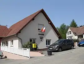 The town hall in Eteimbes | |
.svg.png.webp) Coat of arms | |
Location of Eteimbes | |
 Eteimbes  Eteimbes | |
| Coordinates: 47°42′13″N 7°03′01″E / 47.7036°N 7.0503°E | |
| Country | France |
| Region | Grand Est |
| Department | Haut-Rhin |
| Arrondissement | Altkirch |
| Canton | Masevaux-Niederbruck |
| Intercommunality | Sud Alsace Largue |
| Government | |
| • Mayor (2020–2026) | Yves Conrad[1] |
| Area 1 | 4.96 km2 (1.92 sq mi) |
| Population | 389 |
| • Density | 78/km2 (200/sq mi) |
| Time zone | UTC+01:00 (CET) |
| • Summer (DST) | UTC+02:00 (CEST) |
| INSEE/Postal code | 68085 /68210 |
| Elevation | 340–412 m (1,115–1,352 ft) (avg. 370 m or 1,210 ft) |
| 1 French Land Register data, which excludes lakes, ponds, glaciers > 1 km2 (0.386 sq mi or 247 acres) and river estuaries. | |
Eteimbes (French pronunciation: [etɛ̃b]; German: Welschsteinbach) is a commune in the Haut-Rhin department in Alsace in north-eastern France.
Population
| Year | Pop. | ±% p.a. |
|---|---|---|
| 1968 | 105 | — |
| 1975 | 123 | +2.29% |
| 1982 | 148 | +2.68% |
| 1990 | 232 | +5.78% |
| 1999 | 280 | +2.11% |
| 2007 | 306 | +1.12% |
| 2012 | 379 | +4.37% |
| 2017 | 380 | +0.05% |
| 2020 | 381 | +0.09% |
| Source: INSEE[3] | ||
See also
References
- ↑ "Répertoire national des élus: les maires". data.gouv.fr, Plateforme ouverte des données publiques françaises (in French). 2 December 2020.
- ↑ "Populations légales 2021". The National Institute of Statistics and Economic Studies. 28 December 2023.
- ↑ [ https://www.insee.fr/fr/statistiques/4515315?geo=COM-68085#ancre-POP_T1 Population en historique depuis 1968], INSEE
Wikimedia Commons has media related to Eteimbes.
This article is issued from Wikipedia. The text is licensed under Creative Commons - Attribution - Sharealike. Additional terms may apply for the media files.