Estación Tapia
Tapia | |
|---|---|
Village | |
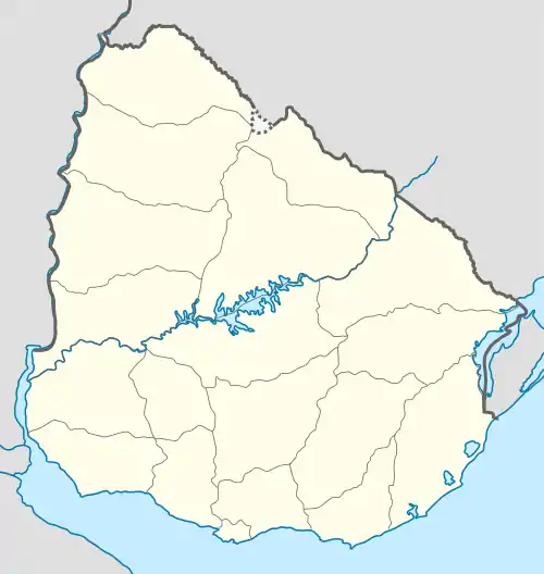 Estación Tapia Location in Uruguay | |
| Coordinates: 34°34′2″S 55°45′5″W / 34.56722°S 55.75139°W | |
| Country | |
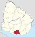
| Department | Canelones Department |
| Population (2011) | |
| • Total | 213 |
| Time zone | UTC -3 |
| Postal code | 91008 |
| Dial plan | +598 4399 (+4 digits) |
Estación Tapia or Tapia is a village or populated centre in the Canelones Department of southern Uruguay.
Geography
Location
It is located on Route 88, about 12 kilometres (7.5 mi) east of San Jacinto. The railroad track Montevideo - Minas passes by the southeast limits of the village and the stream Arroyo de los Negros flows southwest of it.
Population
In 2011 Estación Tapia had a population of 213.[1]
| Year | Population |
|---|---|
| 1985 | 318 |
| 1996 | 226 |
| 2004 | 273 |
| 2011 | 213 |
Source: Instituto Nacional de Estadística de Uruguay[2]
References
- ↑ "Censo 2011 - Canelones (needs flash plugin)". INE. 2012. Archived from the original on 7 September 2012. Retrieved 29 August 2012.
- ↑ "1963–1996 Statistics / E". Instituto Nacional de Estadística de Uruguay. 2004. Archived from the original (DOC) on 25 May 2012. Retrieved 4 July 2011.
External links
Capital: Canelones | ||
| Towns and villages |
|  |
| Resorts of the Ciudad de la Costa | ||
| Sights |
| |
This article is issued from Wikipedia. The text is licensed under Creative Commons - Attribution - Sharealike. Additional terms may apply for the media files.