Enarotali Airport Bandar Udara Enarotali | |||||||||||
|---|---|---|---|---|---|---|---|---|---|---|---|
| Summary | |||||||||||
| Airport type | Public | ||||||||||
| Owner/Operator | Ministry of Transportation | ||||||||||
| Serves | Enarotali | ||||||||||
| Location | Enarotali, Paniai Regency, Central Papua, Indonesia | ||||||||||
| Elevation AMSL | 6,122 ft / 1,866 m | ||||||||||
| Coordinates | 3°55′33″S 136°22′41″E / 3.92583°S 136.37806°E | ||||||||||
| Map | |||||||||||
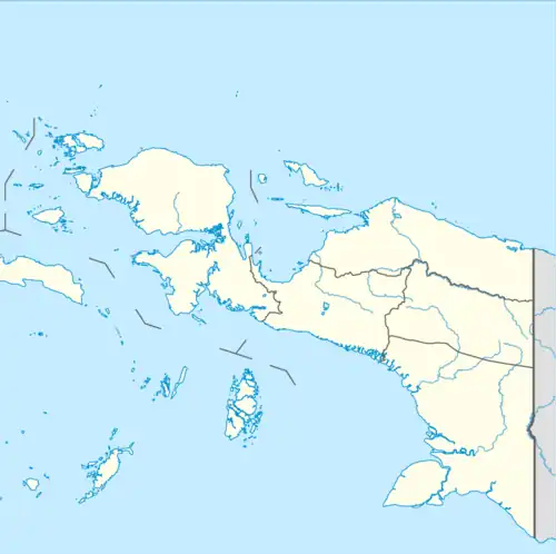
 EWI Location in Western New Guinea  EWI Location in Indonesia | |||||||||||
| Runways | |||||||||||
| |||||||||||
Enarotali Airport (Indonesian: Bandar Udara Enarotali) (IATA: EWI, ICAO: WAYE) is an airport in Enarotali, Central Papua, Indonesia.[1][2] The airport serves the town of Enarotal in Paniai Regency as well as the surrounding regencies. The airport has a single runway of 1,012 m x 18 m and an apron of 40 m x 70 m, which can only accommodate small aircraft such as the DHC-6 Twin Otter.[3]
References
- ↑ "EWI - Enarotali Airport Current Weather and Airport Delay Conditions".
- ↑ "Enarotali - Indonesia".
- ↑ "Direktorat Jenderal Perhubungan Udara | Data Bandar Udara". hubud.dephub.go.id. Retrieved 2021-09-28.
This article is issued from Wikipedia. The text is licensed under Creative Commons - Attribution - Sharealike. Additional terms may apply for the media files.