eMbalenhle
eMbali | |
|---|---|
 eMbalenhle  eMbalenhle | |
| Coordinates: 26°32′46″S 29°04′52″E / 26.546°S 29.081°E | |
| Country | South Africa |
| Province | Mpumalanga |
| District | Gert Sibande |
| Municipality | Govan Mbeki |
| Area | |
| • Total | 19.65 km2 (7.59 sq mi) |
| Population (2011)[1] | |
| • Total | 118,889 |
| • Density | 6,100/km2 (16,000/sq mi) |
| Racial makeup (2011) | |
| • Black African | 99.0% |
| • Coloured | 0.4% |
| • Indian/Asian | 0.2% |
| • White | 0.2% |
| • Other | 0.2% |
| First languages (2011) | |
| • Zulu | 49.8% |
| • Xhosa | 10.9% |
| • Sotho | 10.1% |
| • S. Ndebele | 9.1% |
| • Other | 20.0% |
| Time zone | UTC+2 (SAST) |
| Postal code (street) | 2285 |
| PO box | 2285 |
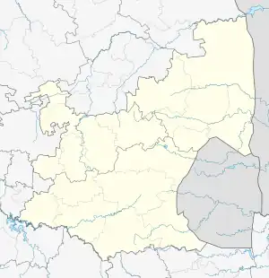
eMbalenhle is a township in Govan Mbeki Local Municipality in the Mpumalanga province of South Africa.
It was established in the 1970s to serve as a black-only township for the neighbouring Secunda, which was founded at the same time. Similar to Secunda, a substantial part of housing in eMbalenhle has been constructed by Sasol for its workers.[2]
eMbalenhle is 10 km away from Secunda, and either town is generally accessed from the other by means of using the R580 road.
References
- 1 2 3 4 "Main Place eMbalenhle". Census 2011.
- ↑ "The Perverse Effects of Mixing Local Economic Development and Community Development: An Example from South Africa". Lernprojekt Meso-NRW. Retrieved 7 January 2014.
This article is issued from Wikipedia. The text is licensed under Creative Commons - Attribution - Sharealike. Additional terms may apply for the media files.
.svg.png.webp)