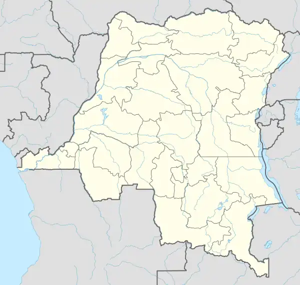
Elinga-Mpango | |
|---|---|
Village | |
 Elinga-Mpango | |
| Coordinates: 1°59′26″S 24°13′17″E / 1.9905°S 24.2213°E --> | |
| Country | Democratic Republic of the Congo |
| Province | Sankuru |
| Territory | Lomela Territory |
| Collectivity | Djonga |
Elinga-Mpango or Elingampango is a community in the Sankuru province of the Democratic Republic of the Congo.
Location
Elinga-Mpango is in the Lomela Territory of Sankuru. It is on the right bank of the Tshuapa River.[1] The Tshuapa has a navigable length of 825 kilometres (513 mi) from its confluence with the Lomela River up to the terminus at Elinga-Mpango.[2] From Bondo to Elinga-Mpango the river narrows and winds, and is not navigable all year round.[3] The Tshuapa has cataracts above Elingampango, preventing further navigation.[4]
The village is in the Roman Catholic Diocese of Kole, and has a church dedicated to the Cœur Immaculé de Marie.[5] The church was erected in 1956.[6] It also has a health enter and dispensary.[7]
Notes
- ↑ Node: Elinga-Mpango (1722905623).
- ↑ Lederer 1973, p. 14.
- ↑ Lederer 1973, p. 15.
- ↑ Kibal N. Mansong'loo 2015, p. 1.
- ↑ Nouvelles ... Diocese of Kole.
- ↑ Kibal N. Mansong'loo 2015, p. 3.
- ↑ Kibal N. Mansong'loo 2015, p. 4.
Sources
- Kibal N. Mansong'loo, Emery (2015), État du diocsese de Kole (PDF) (in French), retrieved 2021-03-23
- Lederer, A. (1973), L'exploitation des affluents du Zaïre et des ports de l'intérieur de 1960 à 1971 (PDF) (in French), Académi e royal e des Sciences d'Outre-Mer: Classe des Sciences Techniques, N.S., XVII-6, Bruxelles, retrieved 2021-03-22
- "Node: Elinga-Mpango (1722905623)", OpenStreetMap, retrieved 2021-03-23
- Nouvelles, Diocese of Kole, retrieved 2021-03-23
This article is issued from Wikipedia. The text is licensed under Creative Commons - Attribution - Sharealike. Additional terms may apply for the media files.