Eldorado, Iowa | |
|---|---|
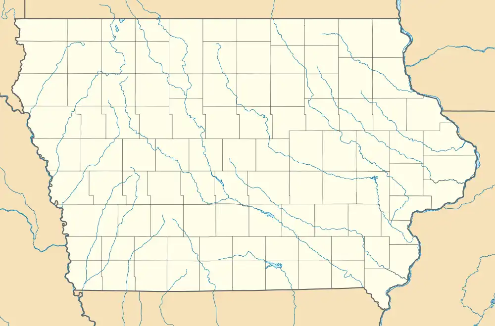 Eldorado Location of Eldorado within the state of Iowa | |
| Coordinates: 43°03′02″N 91°50′08″W / 43.05056°N 91.83556°W[1] | |
| Country | |
| State | |
| County | Fayette County |
| Elevation | 284 m (932 ft) |
| Time zone | UTC-6 (Central (CST)) |
| • Summer (DST) | UTC-5 (CDT) |
| GNIS feature ID | 456267[1] |
Eldorado is an unincorporated community in Fayette County, Iowa, United States. It is located at the junction of Iowa State Highway 150 and Major Road, six miles northeast of West Union.[1]
History
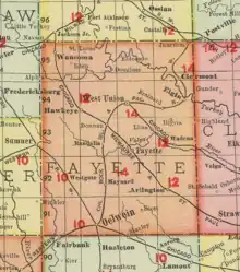
Eldorado in Fayette County, Iowa, in 1903
Eldorado is the eastern part of Auburn Township.[2] Eldorado's population was 179 in 1902,[3] and 165 in 1925.[4] The population was 103 in 1940.[5]
References
- 1 2 3 4 U.S. Geological Survey Geographic Names Information System: Eldorado, Iowa
- ↑ Plat book of Fayette County, Iowa, 1930 :: Hixson Plat Map Atlases of Iowa.
- ↑ Cram's Modern Atlas: The New Unrivaled New Census Edition. J. R. Gray & Company. 1902. pp. 203–207.
- ↑ Atlas of Johnson County, Iowa, 1917 :: Iowa Counties Historic Atlases.
- ↑ The Attorneys List. United States Fidelity and Guaranty Company, Attorney List Department. 1940. p. 298.
Municipalities and communities of Fayette County, Iowa, United States | ||
|---|---|---|
| Cities | Map of Iowa highlighting Fayette County | |
| Townships | ||
| Unincorporated communities | ||
| Footnotes | ‡This populated place also has portions in an adjacent county or counties | |
This article is issued from Wikipedia. The text is licensed under Creative Commons - Attribution - Sharealike. Additional terms may apply for the media files.