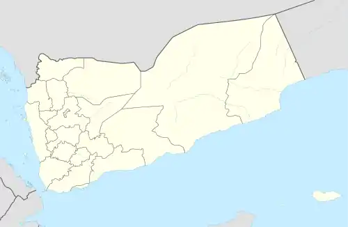
Dhahaban
ذهبان | |
|---|---|
Village | |
 Dhahaban Location in Yemen | |
| Coordinates: 15°25′23″N 44°10′36″E / 15.42319°N 44.17673°E[1] | |
| Country | |
| Governorate | Amanat al-Asimah |
| District | Bani al-Harith |
| Elevation | 7,674 ft (2,339 m) |
| Time zone | UTC+3 (Yemen Standard Time) |
Dhahaban (Arabic: ذهبان Dhahabān), also Dhahban, is a town in Yemen, located on the outskirts of the capital Sanaa in Bani al-Harith District of Amanat al-Asimah Governorate.[1] It is on the Sanaa plain, a bit south of the point where the Wadi Zahr opens out onto the plain.[2] Before 2015, Dhahaban's power station was the main source of power in the Sanaa metro area, although the city's main supplier of electricity was the power plant in Ma'rib.[3]
Name and history
According to the 10th-century writer al-Hamdani, Dhahaban was named after Dhahabān b. Nawf Dhī Thaʽlabān b. Sharaḥbīl, of the tribe of Himyar.[2] In 1989, Robert T.O. Wilson described Dhahaban as a small village and wrote that, while the name was vocalized as Dhahbān by al-Hamdani, as well as by the modern writers Muhammad al-Akwa and Hermann von Wissmann, "the pronunciation of this name is now closer to Dhahabān."[2]
Energy
Dhahaban's power station, located 10 km northwest of Sanaa, was supplied by power lines from the Ma'rib power plant.[3] It is also capable of generating its own electricity, with an original capacity of 20 megawatts, with an additional 30 megawatts added in the 2000s.[3]
References
- 1 2 3 "Geonames.org. Dhahabān". Retrieved 1 March 2021.
- 1 2 3 Wilson, Robert T.O. (1989). Gazetteer of Historical North-West Yemen. Germany: Georg Olms AG. p. 169. ISBN 9783487091952. Retrieved 1 March 2021.
- 1 2 3 United Nations Human Settlements Programme in Yemen (2020). Sana'a City Profile (PDF). Retrieved 1 March 2021.