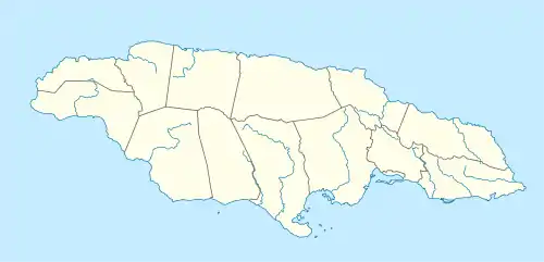
Denham Town | |
|---|---|
Residential neighbourhood | |
 Denham Town | |
| Coordinates: 17°59′01″N 76°48′22″W / 17.983509°N 76.8061924°W | |
| Country | Jamaica |
| Parish | St Andrew |
| City | Kingston |
| Named for | Edward Brandis Denham |
| Time zone | UTC-5 (EST) |
Denham Town is a predominantly residential neighbourhood in western Kingston, Jamaica.[1] It has a reputation as one of Kingston's more violent areas.[2][3][4] It was named in memory of Edward Brandis Denham, Governor of Jamaica 1935–1938.
Amenities
There is a police station,[5] and three schools: Denham Town Primary, St. Alban's Primary (the oldest of the three. It is 127 years old,) and Denham Town High.
See also
References
- ↑ Road map of Jamaica, Kingston town plan, Esso, 1966.
- ↑ West Kingston fury - Four killed as police-gunmen clash in Tivoli and Denham Town, Daraine Luton, Jamaica Gleaner, 2007-04-18.
- ↑ Bloody battle - Three dead, two injured after shoot-out in west Kingston, Gareth Manning, Jamaica Gleaner, 2007-10-30.
- ↑ Pre-adolescent gunshot injuries: anatomy of a Jamaican problem, SE Dundas - C Abel- ND Duncan - C Pinnock-Ramsaran - DM Sawh, West Indian Medical Journal, Volume 56 Number 6, 2007-12, ISSN 0043-3144.
- ↑ "Denham Town". The Jamaica Constabulary Force. Archived from the original on 23 February 2010. Retrieved 30 March 2019.
External links
This article is issued from Wikipedia. The text is licensed under Creative Commons - Attribution - Sharealike. Additional terms may apply for the media files.