De Haar | |
|---|---|
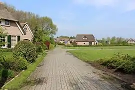 Villa ward in De Haar | |
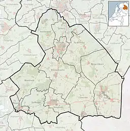 De Haar Location in province of Drenthe in the Netherlands 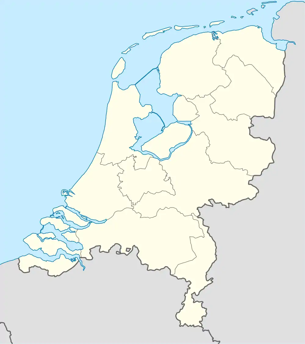 De Haar De Haar (Netherlands) | |
| Coordinates: 52°45′40″N 6°32′56″E / 52.761°N 6.549°E | |
| Country | Netherlands |
| Province | Drenthe |
| Municipality | Hoogeveen |
| Elevation | 15 m (49 ft) |
| Time zone | UTC+1 (CET) |
| • Summer (DST) | UTC+2 (CEST) |
| Postal code | 7936 |
| Dialing code | 0528 |
De Haar is a hamlet in the Dutch province of Drenthe. It is located in the municipality of Hoogeveen, about 7 km northeast of that town.[2]
It was first mentioned in 1936 as Haar, and means "sandy ridge".[3] It is considered part of Tiendeveen, and has about 85 houses.[4]
References
- ↑ "Postcodetool for 7936PA". Actueel Hoogtebestand Nederland (in Dutch). Het Waterschapshuis. Retrieved 12 March 2022.
- ↑ ANWB Topografische Atlas Nederland, Topografische Dienst and ANWB, 2005.
- ↑ "De Haar - (geografische naam)". Etymologiebank (in Dutch). Retrieved 12 March 2022.
- ↑ "De Haar (Tiendeveen)". Plaatsengids (in Dutch). Retrieved 12 March 2022.
Wikimedia Commons has media related to De Haar, Hoogeveen.
This article is issued from Wikipedia. The text is licensed under Creative Commons - Attribution - Sharealike. Additional terms may apply for the media files.