Dar Salah | |
|---|---|
| Arabic transcription(s) | |
| • Arabic | دار صلاح |
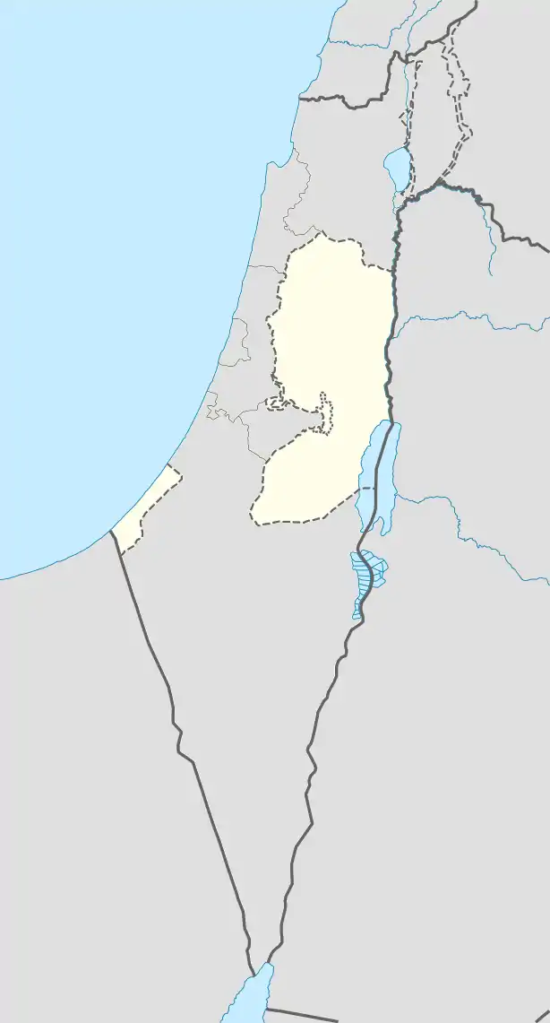
 Dar Salah Location of Dar Salah within Palestine | |
| Coordinates: 31°42′44″N 35°16′16″E / 31.71222°N 35.27111°E | |
| State | State of Palestine |
| Governorate | Bethlehem |
| Government | |
| • Type | Village council |
| Population (2017)[1] | |
| • Total | 4,588 |
Dar Salah (Arabic: دار صلاح) is a Palestinian village located 6 km (3.7 mi) east of Bethlehem. The village is in the Bethlehem Governorate Southern West Bank. According to the Palestinian Central Bureau of Statistics, the village had a population of 4,588 in 2017.[1]
As of February 2015, Dar Salah had the only ostrich farm in the Palestinian territories, a unique project by a local farmer.[2]
Footnotes
- 1 2 Preliminary Results of the Population, Housing and Establishments Census, 2017 (PDF). Palestinian Central Bureau of Statistics (PCBS) (Report). State of Palestine. February 2018. pp. 64–82. Retrieved 2023-10-24.
- ↑ Shatha Yaish with Imad Abu Sombul, Palestinian farms break new ground with ostrich and mushrooms, AFP, February 20, 2015 Archived 2017-10-03 at the Wayback Machine
External links
- Welcome To Dar Salah
- Survey of Western Palestine, Map 17: IAA, Wikimedia commons
- Dar Salah Village (fact sheet), Applied Research Institute–Jerusalem, ARIJ
- Dar Salah Village profile, ARIJ
- Dar Salah aerial photo, ARIJ
- The priorities and needs for development in Dar Salah village based on the community and local authorities’ assessment, ARIJ
This article is issued from Wikipedia. The text is licensed under Creative Commons - Attribution - Sharealike. Additional terms may apply for the media files.
