Dangriga Airport Pelican Beach Airstrip | |||||||||||
|---|---|---|---|---|---|---|---|---|---|---|---|
 | |||||||||||
| Summary | |||||||||||
| Airport type | Public | ||||||||||
| Serves | Dangriga, Belize | ||||||||||
| Elevation AMSL | 13 ft / 4 m | ||||||||||
| Coordinates | 16°58′57″N 88°13′50″W / 16.98250°N 88.23056°W | ||||||||||
| Map | |||||||||||
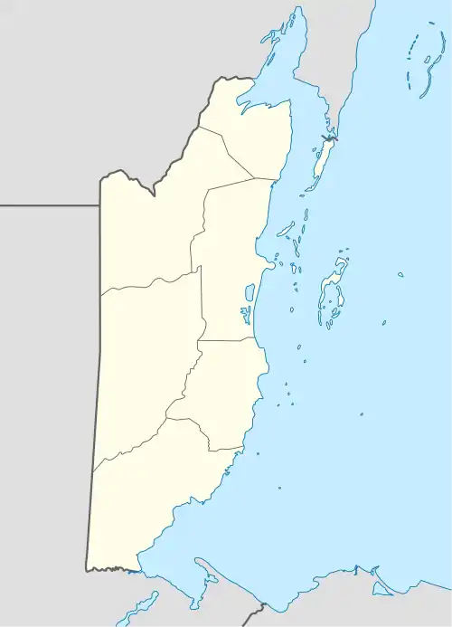 DGA Location of Dangriga Airport in Belize | |||||||||||
| Runways | |||||||||||
| |||||||||||
Source: GCM[1] | |||||||||||
Dangriga Airport (IATA: DGA, ICAO: MZPB), also called Pelican Beach Airstrip, is a public use airport located 1 kilometre (1 mi) north of Dangriga, a coastal town in the Stann Creek District of Belize.
Airlines and destinations
| Airlines | Destinations |
|---|---|
| Maya Island Air | Belize City–International, Belize City–Municipal, Independence, Placencia |
| Tropic Air | Belize City–International, Belize City–Municipal, Placencia |
See also
References
- ↑ Airport information for Dangriga Airport at Great Circle Mapper.
External links
- OurAirports - Dangriga Airport
- Aerodromes in Belize - pdf
- Accident history for DGA at Aviation Safety Network
![]() Media related to Dangriga Airport at Wikimedia Commons
Media related to Dangriga Airport at Wikimedia Commons
This article is issued from Wikipedia. The text is licensed under Creative Commons - Attribution - Sharealike. Additional terms may apply for the media files.