| Currajah Queensland | |||||||||||||||
|---|---|---|---|---|---|---|---|---|---|---|---|---|---|---|---|
 Currajah | |||||||||||||||
| Coordinates | 17°34′43″S 145°59′06″E / 17.5786°S 145.985°E | ||||||||||||||
| Population | 57 (SAL 2021)[1] | ||||||||||||||
| Postcode(s) | 4871 | ||||||||||||||
| Area | 8.9 km2 (3.4 sq mi) | ||||||||||||||
| Time zone | AEST (UTC+10:00) | ||||||||||||||
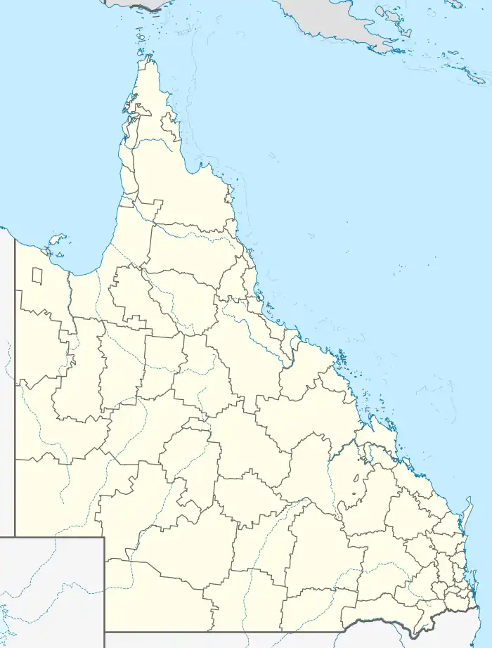
| Location |
| ||||||||||||||
| LGA(s) | Cassowary Coast Region | ||||||||||||||
| State electorate(s) | Hill | ||||||||||||||
| Federal division(s) | Kennedy | ||||||||||||||
| |||||||||||||||
Currajah is a rural locality in the Cassowary Coast Region, Queensland, Australia.[2] In the 2021 census, Currajah had a population of 57 people.[3]
Geography
The locality is bounded to the east by the North Coast railway line, entering from the south-west (Boogan) and existing to the north-west (Wangan).[4]
The land use is a mixture of crop growing and grazing on native vegetation. Sugarcane is a major crop in the locality. There is a network of cane tramways through the locality to transport the sugarcane to the South Johnstone sugar mill in neighbouring South Johnstone to the south.[4]
History
The locality takes its name from a tramway station (later a railway station) and is an Aboriginal word meaning running water.[2]
Demographics
In the 2016 census, Currajah had a population of 60 people.[5]
In the 2021 census, Currajah had a population of 57 people.[3]
Education
There are no schools in Currajah. The nearest government primary schools are Mundoo State School in neighbouring Wangan to the north-east and South Johnstone State School in South Johnstone to the south. The nearest government secondary school is Innisfail State College in Innisfail Estate to the north-east.[4]
References
- ↑ Australian Bureau of Statistics (28 June 2022). "Currajah (suburb and locality)". Australian Census 2021 QuickStats. Retrieved 28 June 2022.
- 1 2 "Currajah – locality in Cassowary Coast Region (entry 45691)". Queensland Place Names. Queensland Government. Retrieved 29 October 2019.
- 1 2 Australian Bureau of Statistics (28 June 2022). "Currajah (SAL)". 2021 Census QuickStats. Retrieved 28 February 2023.
- 1 2 3 "Queensland Globe". State of Queensland. Retrieved 1 September 2023.
- ↑ Australian Bureau of Statistics (27 June 2017). "Currajah (SSC)". 2016 Census QuickStats. Retrieved 20 October 2018.