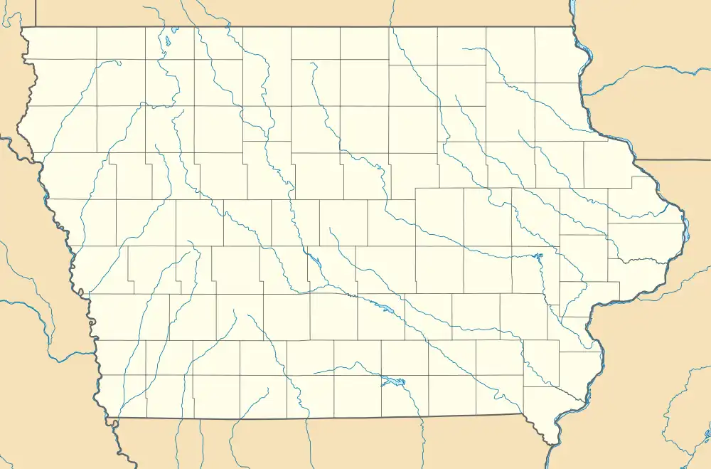
Cranston, Iowa | |
|---|---|
 Cranston  Cranston | |
| Coordinates: 41°22′45″N 91°15′41″W / 41.37917°N 91.26139°W | |
| Country | United States |
| State | Iowa |
| County | Muscatine |
| Time zone | UTC-6 (Central (CST)) |
| • Summer (DST) | UTC-5 (CDT) |
Cranston was an unincorporated community in Muscatine County, Iowa, United States.
History
Cranston was a stop on the Milwaukee Road, which was removed in 1982, although little remains of the community today. Cranston's population was 42 in 1925.[1] The population was 53 in 1940.[2]
There are thirteen houses remaining in Cranston. The Cranston graveyard, containing predominantly Protestant graves, is a half mile east of the town.
Education
Cranston residents are zoned to schools of the Louisa–Muscatine Community School District.[3]
References
- ↑ Company, Rand McNally and (1925). Premier Atlas of the World: Containing Maps of All Countries of the World, with the Most Recent Boundary Decisions, and Maps of All the States,territories, and Possessions of the United States with Population Figures from the Latest Official Census Reports, Also Data of Interest Concerning International and Domestic Political Questions. Rand McNally & Company. p. 190.
- ↑ The Attorneys List. United States Fidelity and Guaranty Company, Attorney List Department. 1940. p. 297.
- ↑ "About Our District". Louisa–Muscatine Community School District. Retrieved April 2, 2020.
Included in our district are the communities of[...]Our schools are located as one large campus on Highway 61.[...]High School 14354 170th St., Letts, TA 52754[...]Elementary School 14506 170th St., Letts, IA 52754
- The campus is outside of the Letts city limits.
This article is issued from Wikipedia. The text is licensed under Creative Commons - Attribution - Sharealike. Additional terms may apply for the media files.