Corvuso | |
|---|---|
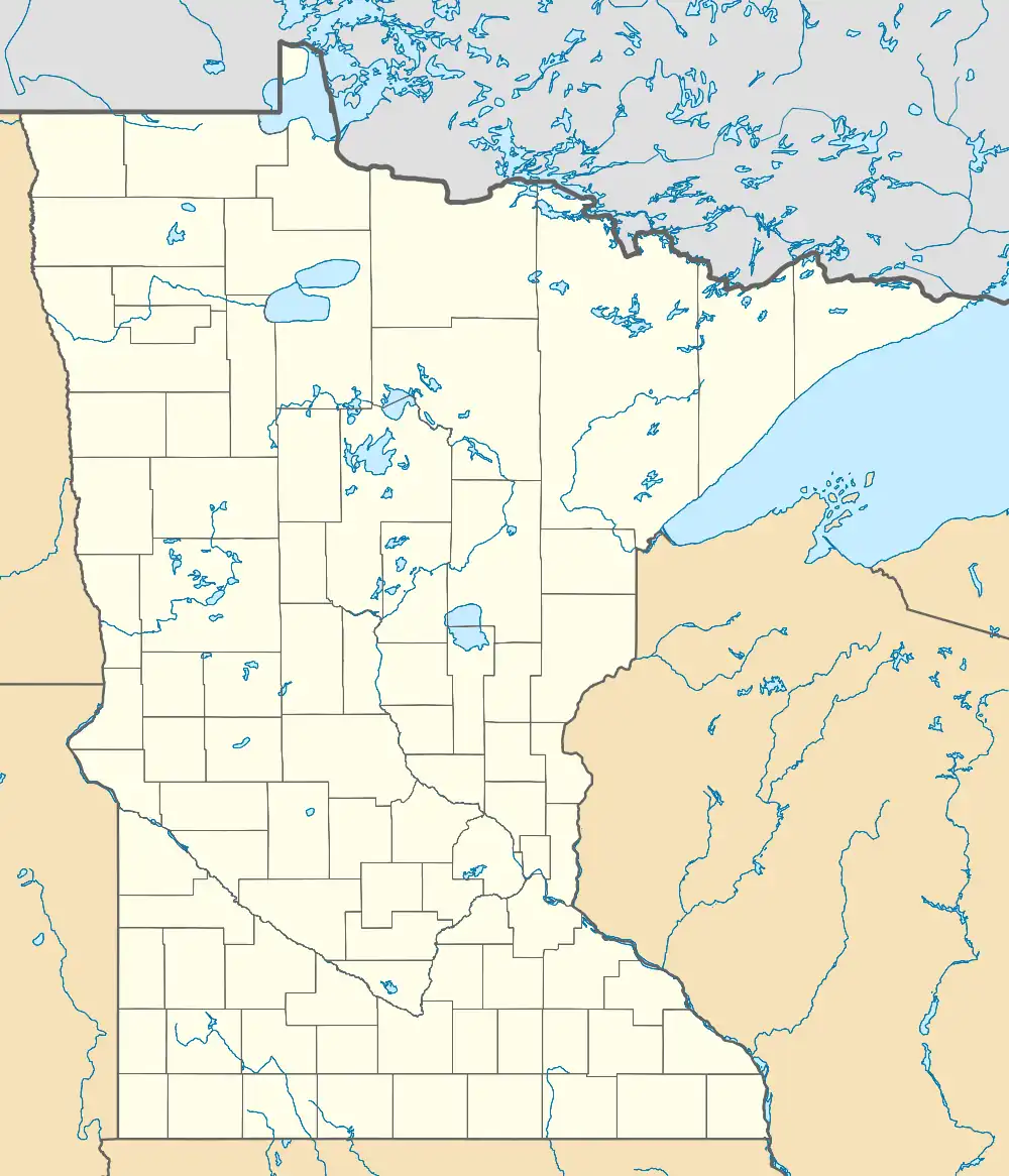 Corvuso Location of the community of Corvuso within Cedar Mills Township, Meeker County  Corvuso Corvuso (the United States) | |
| Coordinates: 44°56′10″N 94°36′17″W / 44.93611°N 94.60472°W | |
| Country | United States |
| State | Minnesota |
| County | Meeker |
| Township | Cedar Mills Township |
| Elevation | 1,099 ft (335 m) |
| Time zone | UTC-6 (Central (CST)) |
| • Summer (DST) | UTC-5 (CDT) |
| ZIP code | 56228 and 55355 |
| Area code | 320 |
| GNIS feature ID | 641516[1] |
Corvuso is an unincorporated community in Cedar Mills Township. The community is located along Meeker County Road 1 near State Highway 7. The name comes from an Indian word that means "Gathering place for crows." The original site was one mile east and 1/2 mile north of the present location. Est. population: 20. Nothing is known about who the first settlers were. The South Fork of the Crow River flows nearby.
Nearby places include Cosmos, Litchfield, and Hutchinson.
References
Municipalities and communities of Meeker County, Minnesota, United States | ||
|---|---|---|
| Cities | 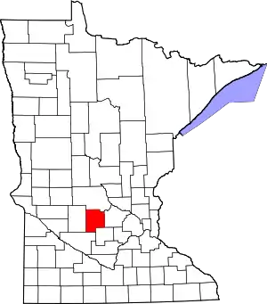 Map of Minnesota highlighting Meeker County | |
| Townships | ||
| Unincorporated communities | ||
| Footnotes | ‡This populated place also has portions in an adjacent county or counties | |
This article is issued from Wikipedia. The text is licensed under Creative Commons - Attribution - Sharealike. Additional terms may apply for the media files.