Clarktown, Ohio | |
|---|---|
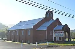 Baptist church on State Route 139 | |
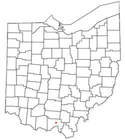 Location of Clarktown, Ohio | |
| Coordinates: 38°51′02″N 82°54′41″W / 38.85056°N 82.91139°W | |
| Country | United States |
| State | Ohio |
| County | Scioto |
| Township | Jefferson |
| Population | |
| • Total | 911 |
| Time zone | UTC-5 (Eastern (EST)) |
| • Summer (DST) | UTC-4 (EDT) |
| Area code(s) | 740, 220 |
Clarktown is an unincorporated community and census-designated place in southeastern Jefferson Township, Scioto County, Ohio, United States. As of the 2020 census it had a population of 911.
Geography
Located at the intersection of State Route 139 with Burns Hollow and Blue Run roads, it lies 5 miles (8 km) southeast of Lucasville and 10 miles (16 km) northeast of the city of Portsmouth, the county seat of Scioto County. Long Run, a tributary of the Rocky Fork of the Little Scioto River, flows past the community.[2]
References
Municipalities and communities of Scioto County, Ohio, United States | ||
|---|---|---|
| City |  Map of Ohio highlighting Scioto County | |
| Villages | ||
| Townships | ||
| CDPs | ||
| Unincorporated communities | ||
| Footnotes | ‡This populated place also has portions in an adjacent county or counties | |
This article is issued from Wikipedia. The text is licensed under Creative Commons - Attribution - Sharealike. Additional terms may apply for the media files.