Chesterville | |
|---|---|
 Chesterville | |
| Coordinates: 39°04′04″N 85°03′08″W / 39.06778°N 85.05222°W | |
| Country | United States |
| State | Indiana |
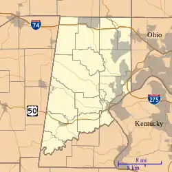
| County | Dearborn |
| Township | Sparta |
| Elevation | 873 ft (266 m) |
| ZIP code | 47032 |
| FIPS code | 18-12430[1] |
| GNIS feature ID | 432459[2] |
Chesterville is an unincorporated community in Sparta Township, Dearborn County, Indiana.
History
A post office was established at Chesterville in 1884, and remained in operation until it was discontinued in 1907.[3]
Geography
Chesterville is located at 39°04′04″N 85°03′08″W / 39.06778°N 85.05222°W.
References
- ↑ "U.S. Census website". United States Census Bureau. Retrieved January 31, 2008.
- ↑ "Chesterville, Indiana". Geographic Names Information System. United States Geological Survey, United States Department of the Interior. Retrieved October 10, 2009.
- ↑ "Dearborn County". Jim Forte Postal History. Retrieved August 31, 2014.
External links
 Media related to Chesterville, Indiana at Wikimedia Commons
Municipalities and communities of Dearborn County, Indiana, United States | ||
|---|---|---|
| Cities | Map of Indiana highlighting Dearborn County | |
| Towns | ||
| Townships | ||
| CDPs | ||
| Other communities | ||
This article is issued from Wikipedia. The text is licensed under Creative Commons - Attribution - Sharealike. Additional terms may apply for the media files.