Chaumontel | |
|---|---|
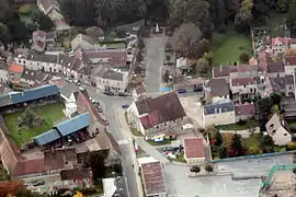 An aerial view of the area around the church in Chaumontel | |
.svg.png.webp) Coat of arms | |
Location of Chaumontel | |
 Chaumontel 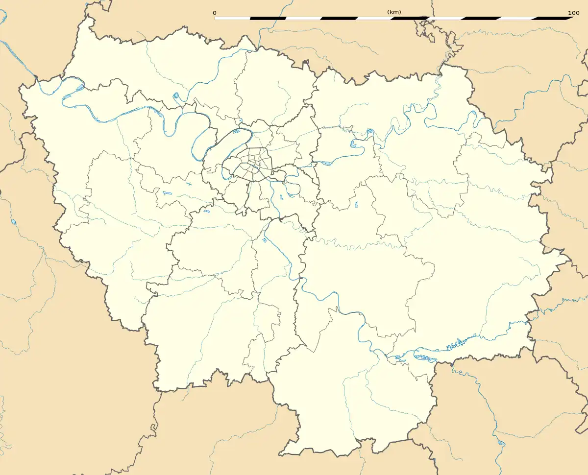 Chaumontel | |
| Coordinates: 49°07′39″N 2°25′47″E / 49.1275°N 2.4297°E | |
| Country | France |
| Region | Île-de-France |
| Department | Val-d'Oise |
| Arrondissement | Sarcelles |
| Canton | Fosses |
| Government | |
| • Mayor (2020–2026) | Sylvain Saragosa[1] |
| Area 1 | 4.23 km2 (1.63 sq mi) |
| Population | 3,356 |
| • Density | 790/km2 (2,100/sq mi) |
| Time zone | UTC+01:00 (CET) |
| • Summer (DST) | UTC+02:00 (CEST) |
| INSEE/Postal code | 95149 /95270 |
| 1 French Land Register data, which excludes lakes, ponds, glaciers > 1 km2 (0.386 sq mi or 247 acres) and river estuaries. | |
Chaumontel (French pronunciation: [ʃomɔ̃tɛl] ⓘ) is a commune in the Val-d'Oise department in Île-de-France in northern France.
Population
| Year | Pop. | ±% p.a. |
|---|---|---|
| 1968 | 869 | — |
| 1975 | 1,463 | +7.73% |
| 1982 | 2,347 | +6.99% |
| 1990 | 2,933 | +2.83% |
| 1999 | 3,250 | +1.15% |
| 2007 | 3,275 | +0.10% |
| 2012 | 3,317 | +0.26% |
| 2017 | 3,261 | −0.34% |
| Source: INSEE[3] | ||
See also
References
- ↑ "Répertoire national des élus: les maires" (in French). data.gouv.fr, Plateforme ouverte des données publiques françaises. 4 May 2022.
- ↑ "Populations légales 2021". The National Institute of Statistics and Economic Studies. 28 December 2023.
- ↑ Population en historique depuis 1968, INSEE
External links
Wikimedia Commons has media related to Chaumontel.
- Official website (in French)
- Association of Mayors of the Val d'Oise (in French)
This article is issued from Wikipedia. The text is licensed under Creative Commons - Attribution - Sharealike. Additional terms may apply for the media files.