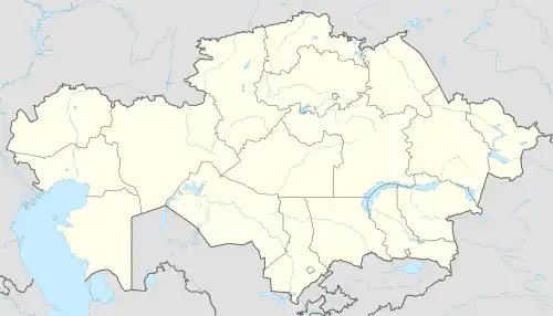
Chapayev
Чапаев | |
|---|---|
Town | |
| Ulbishin | |
 The Chapaev Museum | |
 Chapayev | |
| Coordinates: 50°12′N 51°10′E / 50.200°N 51.167°E | |
| Country | |
| Region | West Kazakhstan Region |
| District | Akzhaik District |
| Population (2009) | |
| • Total | 8,476 |
| Time zone | UTC+5 (UTC + 5) |
Chapaev (Kazakh: Чапаев, Chapaev; Russian: Чапаев) is a town in north-western Kazakhstan. It is the seat of Akzhaik District in West Kazakhstan Region. The town is located 130 km south of Oral, Kazakhstan (Uralsk), on the right bank of the Ural River.
Population
8,476 (2009 Census results);[1] 8,344 (1999 Census results).[1]
History
According to the Brockhaus and Efron Encyclopedic Dictionary, in 19th century the local residents were reported to be mainly engaged in agriculture, fishing, herding, hunting and gathering liquorice root.[2]
The town was the place of death of Vasily Chapayev, the Red Army commander of the Russian Civil War (1919). A museum was established in his memory in 1927, which has received the National Monument of Kazakhstan status.
The earlier settlement was named Ilbishin (Ulbishin, Kazakh: Ілбішін) or Lbishchensk (Russian: Лбищенск) since the 20th century and in 1899 the town had 3400 people (2100 of which were Cossacks), 2 churches, 2 schools, and mail and telegraph connections. It was renamed Chapaevo in 1939 and Chapaev in 1992.
In 1997 the town became the capital of Akzhaik District.
Climate
| Climate data for Chapaev (1991–2020) | |||||||||||||
|---|---|---|---|---|---|---|---|---|---|---|---|---|---|
| Month | Jan | Feb | Mar | Apr | May | Jun | Jul | Aug | Sep | Oct | Nov | Dec | Year |
| Mean daily maximum °C (°F) | −5.8 (21.6) |
−5.1 (22.8) |
2.6 (36.7) |
15.6 (60.1) |
23.9 (75.0) |
29.3 (84.7) |
31.5 (88.7) |
30.2 (86.4) |
22.9 (73.2) |
13.5 (56.3) |
2.8 (37.0) |
−3.9 (25.0) |
13.1 (55.6) |
| Daily mean °C (°F) | −9.5 (14.9) |
−9.3 (15.3) |
−1.8 (28.8) |
9.3 (48.7) |
17.2 (63.0) |
22.4 (72.3) |
24.7 (76.5) |
22.9 (73.2) |
15.8 (60.4) |
7.7 (45.9) |
−0.9 (30.4) |
−7.3 (18.9) |
7.6 (45.7) |
| Mean daily minimum °C (°F) | −13.1 (8.4) |
−13.2 (8.2) |
−5.8 (21.6) |
3.5 (38.3) |
10.6 (51.1) |
15.5 (59.9) |
17.8 (64.0) |
15.9 (60.6) |
9.0 (48.2) |
2.6 (36.7) |
−4.1 (24.6) |
−10.6 (12.9) |
2.3 (36.1) |
| Average precipitation mm (inches) | 17.9 (0.70) |
14.6 (0.57) |
17.8 (0.70) |
22.0 (0.87) |
23.2 (0.91) |
32.1 (1.26) |
19.8 (0.78) |
17.4 (0.69) |
20.1 (0.79) |
27.8 (1.09) |
21.7 (0.85) |
19.9 (0.78) |
254.3 (10.01) |
| Average precipitation days (≥ 1.0 mm) | 5.2 | 4.7 | 4.6 | 4.1 | 3.8 | 4.7 | 3.4 | 2.8 | 3.3 | 4.8 | 5.1 | 5.2 | 51.7 |
| Source: NOAA[3] | |||||||||||||
References
- 1 2 "Население Республики Казахстан" [Population of the Republic of Kazakhstan] (in Russian). Департамент социальной и демографической статистики. Retrieved 8 December 2013.
- ↑ "ЭСБЕ/Лбищенск — Викитека". ru.wikisource.org (in Russian). Retrieved 2023-11-23.
- ↑ "World Meteorological Organization Climate Normals for 1991-2020 — Chapaev". National Oceanic and Atmospheric Administration. Retrieved January 2, 2024.
