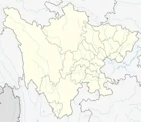
Chaotian
朝天区 | |
|---|---|
 Chaotian Location in Sichuan | |
| Coordinates: 32°38′56″N 105°53′20″E / 32.649°N 105.889°E | |
| Country | People's Republic of China |
| Province | Sichuan |
| Prefecture-level city | Guangyuan |
| Township-level divisions | 6 towns 19 townships |
| County seat | Chaotian Town (朝天镇) |
| Area | |
| • Total | 1,618 km2 (625 sq mi) |
| Elevation | 553 m (1,814 ft) |
| Highest elevation | 1,998 m (6,555 ft) |
| Lowest elevation | 475 m (1,558 ft) |
| Population (2022) | |
| • Total | 210,000 |
| • Density | 130/km2 (340/sq mi) |
| Time zone | UTC+8 (China Standard) |
| Area code | 0839 |
| Website | www |
Chaotian (Chinese: 朝天; pinyin: Cháotiān) is a northern, mostly rural, county-level district of Guangyuan, Sichuan Province, China. The district was established in 1989,[1] before, it was part of Shizhong District.[2]
The most well known touristic attractions include the Mingyue Gorge, Zengjiashan ski resort, Longmenge cave and Shuimogou scenic area.[3][4] Walnuts are cultivated widely in Chaotian.[1]
Administrative divisions
Chaotian governs over 10 towns and 2 townships.[5]
- Chaotian town (county seat)
- Datan town
- Yangmu town
- Zengjia town
- Zhongzi town
- Shahe town
- Lianghekou town
- Yunwushan town
- Shuimogou town
- Lijia town
- Maliu township
- Linxi township
References
- 1 2 "朝天概况-广元市朝天区人民政府". www.gyct.gov.cn. Retrieved 2023-04-01.
- ↑ 四川省情与政策 (in Chinese). 四川人民出版社. 2001. ISBN 978-7-220-05642-0.
- ↑ "Mingyue Gorge in Guangyuan - China.org.cn". www.china.org.cn. Retrieved 2023-04-01.
- ↑ 新浪 (2019-11-27). "广元龙门阁:古金牛道上最著名的栈阁之一,川北道教圣地之一". k.sina.cn. Retrieved 2023-04-01.
- ↑ "2022年统计用区划代码". www.stats.gov.cn. Retrieved 2023-04-01.
This article is issued from Wikipedia. The text is licensed under Creative Commons - Attribution - Sharealike. Additional terms may apply for the media files.