| Cerro Alto Mountain | |
|---|---|
 Cerro Alto Mountain | |
| Highest point | |
| Elevation | 6,703 ft (2,043 m)[1] |
| Prominence | 1,447 ft (441 m)[2] |
| Coordinates | 31°56′43″N 105°58′12″W / 31.94528°N 105.97000°W[1] |
| Geography | |
| Location | Hudspeth County, Texas, U.S. |
| Parent range | Hueco Mountains |
| Topo map | USGS Cerro Alto Mountain |
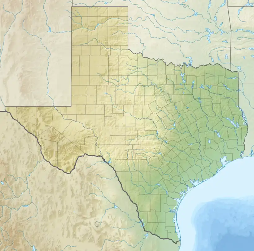
Cerro Alto Mountain is a mountain in western Texas east of El Paso along U.S. Route 180. It is the highest point in the Hueco Mountains.
The awelo of the Tigua Indians is believed to reside near Cerro Alto Mountain. Which began during their arrival in the 17th century.
See also
References
- 1 2 "Cerro Alto Mountain". Geographic Names Information System. United States Geological Survey, United States Department of the Interior. Retrieved 2009-08-30.
- ↑ "Cerro Alto Mountain". List of John. Retrieved January 5, 2013.
This article is issued from Wikipedia. The text is licensed under Creative Commons - Attribution - Sharealike. Additional terms may apply for the media files.