Castlemartin
| |
|---|---|
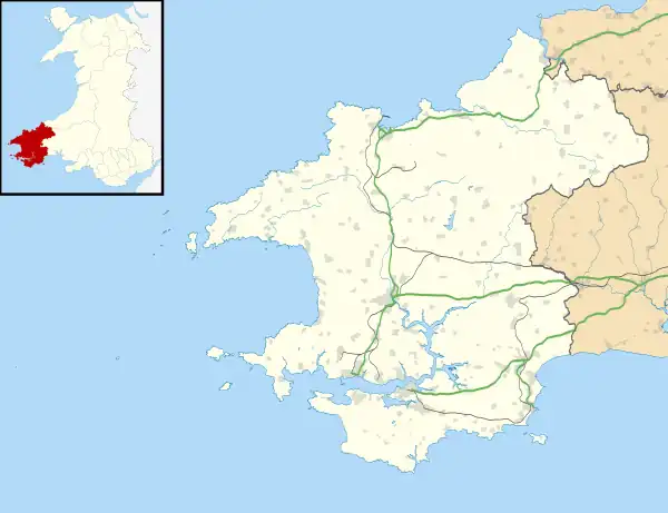
 Castlemartin Location within Pembrokeshire | |
| Population | 147 |
| OS grid reference | SR914984 |
| Community |
|
| Principal area | |
| Country | Wales |
| Sovereign state | United Kingdom |
| Police | Dyfed-Powys |
| Fire | Mid and West Wales |
| Ambulance | Welsh |
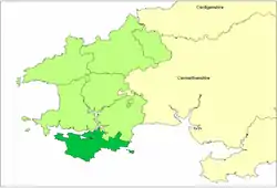
Castlemartin (Welsh: Castell Martin) is a village and parish[1][2] in the community of Stackpole and Castlemartin, Pembrokeshire, Wales, in the Pembrokeshire Coast National Park.
The village is on a sandstone ridge, 5 miles (8.0 km) southwest of Pembroke, 4 miles (6.4 km) southeast of Angle, and reached on the B4319 road.
Geography
In chronostratigraphy, the British sub-stage of the Carboniferous period, the 'Arundian' derives its name from Hobbyhorse Bay in the Castlemartin community—arundo being the Latin for hobby horse.[3] Castlemartin has 8 miles (13 km) of coastline, much of it consisting of spectacular limestone cliffs characterised by large sea caves, natural arches and stacks.
History

The village of Castlemartin was in the ancient Hundred of the same name, once centred on a prominent Norman motte-and-bailey castle giving, with the church dedicated to St Martin, the origin of the name.[4] Like other places in southern Pembrokeshire, Castlemartin has been mainly English-speaking for 900 years or more.
A 1583 map in the British Library shows Castlemartin parish as Castlemerten.[5]
The census population of Castlemartin was 496 (1801): 528 (1851): 460 (1901): 243 (1951): 147 (2001).
During the 20th century, much of the land in the community area was cleared by the government for use as an artillery range: Castlemartin Training Area, with its base at Merrion, in Warren. Here, the Pembrokeshire Coast Path has to run inland; by-passing many interesting sections of cliff, although sometimes access may be offered to Flimston. In 2011, the MoD opened up a special diversionary route which was safer for walkers by protecting them from the range fire and preventing them for having to negotiate narrow country roads with fast moving traffic.[6]
Castlemartin community amalgamated with Stackpole community in 2012, forming Stackpole and Castlemartin community.[7]
Parish church

The parish church of St Michael is a Grade I listed building. It contains a cross-inscribed stone pillar of the 7th century-9th century. Currently, the church is closed.[8][9] The church was declared redundant and vested with the Friends of Friendless Churches in 2016.[10]
References
- ↑ "GENUKI: Castlemartin". Retrieved 14 August 2019.
- ↑ "GENUKI: Parish map 156". Retrieved 14 August 2019.
- ↑ Harland, W.B. 1990 A Geologic Time Scale 1989, Cambridge University Press, p43
- ↑ Charles, B. G., The Placenames of Pembrokeshire, National Library of Wales, Aberystwyth, 1992, ISBN 0-907158-58-7, p 678
- ↑ "Penbrok comitat". British Library. Retrieved 4 August 2019.
- ↑ "Castlemartin access project scoops MOD's top environmental award". Tenby Today. 18 November 2011. Retrieved 15 July 2016.
- ↑ "WELSH STATUTORY INSTRUMENTS 2011 No. 683 (W.101) LOCAL GOVERNMENT,WALES The Pembrokeshire(Communities)Order 2011" (PDF). UK Stationery Office. Retrieved 12 February 2012.
- ↑ Cadw. "Church of St Michael (Grade I) (5948)". National Historic Assets of Wales. Retrieved 14 August 2019.
- ↑ "Church of St. Michael - A Grade I Listed Building in Castlemartin, Pembrokeshire". British Listed Building. Retrieved 5 July 2017.
- ↑ "Friends of Friendless Churches: Church of St Michael".
External links
- Further historical information and links on GENUKI
- Public Information on Army Range
- Joint Nature Conservation Committee
- Photographs of Castlemartin and surrounding area on Geograph
- Castlemartin at HistoryofWales.com