| Capricorn Mountain | |
|---|---|
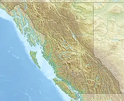 Capricorn Mountain Location in British Columbia | |
| Highest point | |
| Elevation | 2,551 m (8,369 ft)[1] |
| Prominence | 303 m (994 ft)[1] |
| Listing | Mountains of British Columbia |
| Coordinates | 50°37′28″N 123°31′54″W / 50.62444°N 123.53167°W[2] |
| Geography | |
| Location | British Columbia, Canada |
| District | Lillooet Land District |
| Parent range | Pacific Ranges |
| Topo map | NTS 92J12 Mount Dalgleish |
| Geology | |
| Age of rock | Pleistocene |
| Mountain type | Stratovolcano |
| Volcanic arc/belt | Canadian Cascade Arc Garibaldi Volcanic Belt |
| Last eruption | Pleistocene |
| Climbing | |
| First ascent | 1931 N. Carter; A. Dalgleish; T. Fyles; M. Winram[1] |
| Easiest route | Climbing |
Capricorn Mountain is one of the several volcanic peaks of the Mount Meager massif in southwestern British Columbia, Canada. Its slopes appear to be more gentle than those of the massif's other volcanic peaks. The mountain consists of a boomerang-shaped ridge, with one summit at each end and the main summit in the centre.
See also
References
- 1 2 3 "Capricorn Mountain". Bivouac.com. Retrieved 2013-07-19.
- ↑ "Capricorn Mountain". BC Geographical Names. Retrieved 2013-07-19.
This article is issued from Wikipedia. The text is licensed under Creative Commons - Attribution - Sharealike. Additional terms may apply for the media files.