Cape Irago
伊良湖岬 (Irago-misaki) | |
|---|---|
 View of Cape Irago | |
 Cape Irago 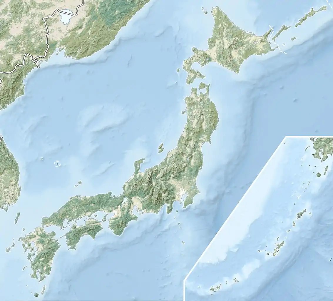 Cape Irago | |
| Coordinates: 34°34′46″N 137°00′58″E / 34.57944°N 137.01611°E | |
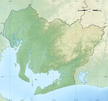
| Location | Tahara, Aichi, Japan |
| Offshore water bodies | Pacific Ocean |

View of Cape Irago from Irago Ocean Resort

Evening view of Cape Irago
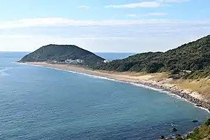
Cape Irago (伊良湖岬, Irago-misaki?) is the terminal point of land at the west end of Atsumi Peninsula in southern Aichi Prefecture, Japan. The cape forms one side of the entrances to Ise Bay and Mikawa Bay, which are divided by the Chita Peninsula. Because it is a crucial landmark for ships Irago Lighthouse is located in the cape to help guide and warn passing ships.[1]
References
- ↑ 渥美半島観光ビューロー, ed. (March 2015). "渥美半島・田原おでかけ観光ガイド" (in Japanese). Retrieved 9 May 2017..
This article is issued from Wikipedia. The text is licensed under Creative Commons - Attribution - Sharealike. Additional terms may apply for the media files.