| Caerfarchell | |
|---|---|
 Chapel at Caerfarchell | |
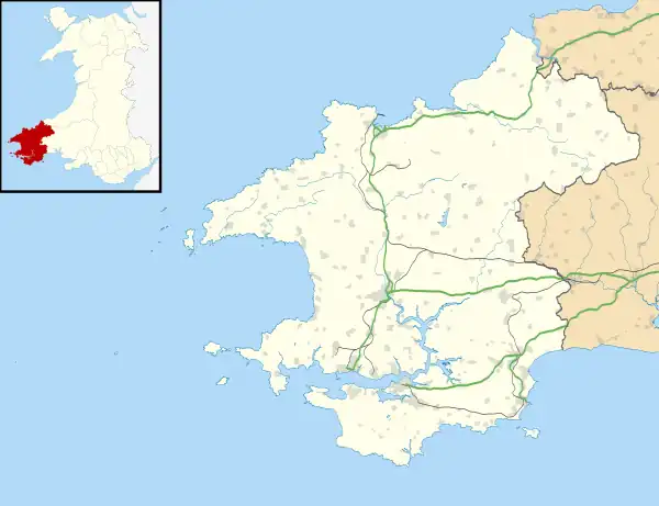
 Caerfarchell Location within Pembrokeshire | |
| OS grid reference | SM795270 |
| Principal area | |
| Country | Wales |
| Sovereign state | United Kingdom |
| Police | Dyfed-Powys |
| Fire | Mid and West Wales |
| Ambulance | Welsh |
Caerfarchell (Welsh pronunciation: [kaɪrvɑːrxɛɬ]) is a small village in Pembrokeshire, Wales, 3 miles northeast of St Davids, close by the A487 road. It is in the community of St Davids and the Cathedral Close.
Description
Several houses are built around a small village green.
In 2001 the Pembrokeshire Coast National Park Authority drew up a conservation statement with the help of villagers.[1]
History
It is believed the village originated in the 14th or 15th centuries.[2] Early medieval burials have been recorded. An early 19th century farm building opposite the chapel is a Grade II-listed building[3] and there are nine other listed buildings in the vicinity.[4]
Chapel
A Calvinist Methodist Chapel was built in 1763 and replaced by the current building in 1827. It is Grade II* listed.[5][6]
References
- ↑ "Villages discuss conservation". Western Telegraph. 13 November 2001. Retrieved 20 June 2020.
- ↑ "Dyfed Archaeological Trust: 297 Waun Caerfarchell". Archived from the original on 15 April 2015. Retrieved 12 September 2020.
- ↑ Cadw. "Outbuilding to rear of Caerfarchell Farmhouse (Grade II) (12663)". National Historic Assets of Wales. Retrieved 21 July 2019.
- ↑ "Dyfed Archaeological Trust: 288 Treledydd - Tretio - Caerfarchell". Archived from the original on 15 August 2011. Retrieved 12 September 2020.
- ↑ "Caerfarchell Calvinistic Methodist Chapel, Caerfarchell (11216)". Coflein. RCAHMW. Retrieved 17 December 2012.
- ↑ Cadw. "Capel Caerfarchell & Outbuilding to NE corner of Forecourt (Grade II*) (12664)". National Historic Assets of Wales. Retrieved 21 July 2019.