| Burrowa-Pine Mountain National Park Victoria | |
|---|---|
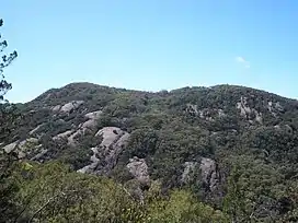
 Pine Mountain, located within the park. | |
 Burrowa-Pine Mountain National Park | |
| Nearest town or city | Walwa |
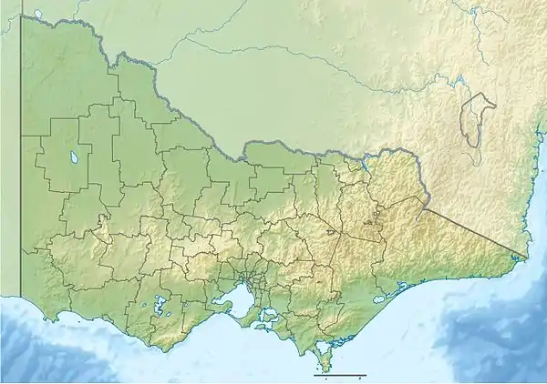
| Coordinates | 36°05′24″S 147°45′29″E / 36.09000°S 147.75806°E |
| Established | 16 May 1978[1] |
| Area | 184 km2 (71.0 sq mi)[2] |
| Managing authorities | Parks Victoria |
| Website | Burrowa-Pine Mountain National Park |
| See also | Protected areas of Victoria |
The Burrowa-Pine Mountain National Park is a national park in the Hume region of Victoria, Australia. The 18,400-hectare (45,000-acre)[2] national park is situated approximately 315 kilometres (196 mi) northeast of Melbourne and 120 kilometres (75 mi) east of Albury-Wodonga.
The Pine Mountain, one of the largest monoliths in Australia, is located within the park[3] and is believed to be 1.5 times the size of Uluru.[2] The highest peak in the park is Mount Burrowa at an elevation of 1,300 metres (4,300 ft) above sea level.[2]
See also
References
- ↑ "Burrowa-Pine Mountain National Park management plan" (PDF). Parks Victoria (PDF). Victorian Government. June 1996. p. 2. ISBN 0-7306-6187-3. Archived from the original (PDF) on 4 March 2016. Retrieved 10 August 2014.
- 1 2 3 4 "Burrowa-Pine Mountain National Park: Visitor Guide" (PDF). Parks Victoria (PDF). Victorian Government. August 2012. Archived from the original (PDF) on 5 April 2012. Retrieved 10 August 2014.
- ↑ "Burrowa-Pine Mountain National Park". Parks Victoria. Victorian Government. Archived from the original on 26 November 2015. Retrieved 31 August 2013.
This article is issued from Wikipedia. The text is licensed under Creative Commons - Attribution - Sharealike. Additional terms may apply for the media files.