Buckhorn, New Mexico | |
|---|---|
 Buckhorn  Buckhorn | |
| Coordinates: 32°47′38″N 108°11′03″W / 32.79389°N 108.18417°W | |
| Country | United States |
| State | New Mexico |
| County | Grant |
| Area | |
| • Total | 4.64 sq mi (12.01 km2) |
| • Land | 4.64 sq mi (12.01 km2) |
| • Water | 0.00 sq mi (0.00 km2) |
| Elevation | 4,786 ft (1,459 m) |
| Population | |
| • Total | 172 |
| • Density | 37.10/sq mi (14.33/km2) |
| Time zone | UTC-7 (Mountain (MST)) |
| • Summer (DST) | UTC-6 (MDT) |
| ZIP code | 88025 |
| Area code | 575 |
| GNIS feature ID | 904146[3] |
Buckhorn is a census-designated place in Grant County, New Mexico, United States. Its population was 200 as of the 2010 census. Buckhorn has a post office with ZIP code 88025.[4][5] U.S. Route 180 passes through the community. The post office was established in 1913. Buckhorn was named for the nearby Buckhorn Creek.[6]
Demographics
| Census | Pop. | Note | %± |
|---|---|---|---|
| 2020 | 172 | — | |
| U.S. Decennial Census[7][2] | |||
References
- ↑ "ArcGIS REST Services Directory". United States Census Bureau. Retrieved October 12, 2022.
- 1 2 "Census Population API". United States Census Bureau. Retrieved October 12, 2022.
- ↑ "Buckhorn". Geographic Names Information System. United States Geological Survey, United States Department of the Interior.
- ↑ United States Postal Service (2012). "USPS - Look Up a ZIP Code". Retrieved February 15, 2012.
- ↑ "Postmaster Finder - Post Offices by ZIP Code". United States Postal Service. Archived from the original on October 17, 2020. Retrieved August 7, 2013.
- ↑ Julyan, Robert (1996). The Place Names of New Mexico. University of New Mexico Press. p. 50. ISBN 0826316891.
- ↑ "Census of Population and Housing". Census.gov. Retrieved June 4, 2016.
Municipalities and communities of Grant County, New Mexico, United States | ||
|---|---|---|
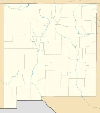
| City | 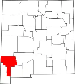 Map of New Mexico highlighting Grant County | |
| Towns | ||
| Village | ||
| CDPs | ||
| Other communities | ||
| Ghost towns | ||
This article is issued from Wikipedia. The text is licensed under Creative Commons - Attribution - Sharealike. Additional terms may apply for the media files.