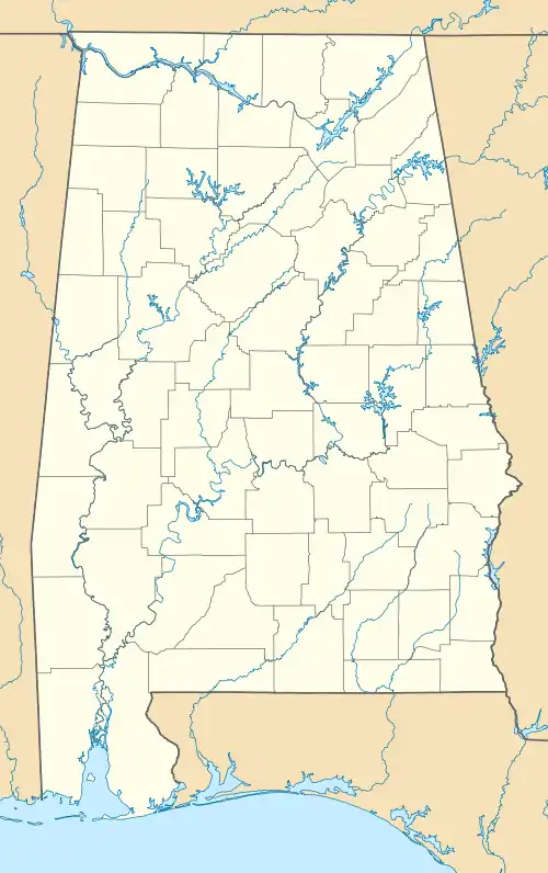
Broomtown, Alabama | |
|---|---|
 Location of Broomtown in Cherokee County, Alabama. | |
 Broomtown | |
| Coordinates: 34°21′38″N 85°31′18″W / 34.36056°N 85.52167°W | |
| Country | United States |
| State | Alabama |
| County | Cherokee |
| Area | |
| • Total | 4.69 sq mi (12.16 km2) |
| • Land | 4.69 sq mi (12.16 km2) |
| • Water | 0.00 sq mi (0.00 km2) |
| Elevation | 682 ft (208 m) |
| Population (2020) | |
| • Total | 160 |
| • Density | 34.09/sq mi (13.16/km2) |
| Time zone | UTC-6 (Central (CST)) |
| • Summer (DST) | UTC-5 (CDT) |
| Area code(s) | 256 & 938 |
| GNIS feature ID | 114973[2] |
Broomtown is an unincorporated community and census-designated place in Cherokee County, Alabama, United States. As of the 2010 census, its population was 182.[3]
It was named for Chief Broom (Broomstown) of the Cherokee Nation, whose people occupied the area from the late eighteenth century into the 1830s.[4] The Cherokee had migrated southwest under pressure from European-American encroachment in Tennessee and North Carolina, before Indian Removal from the Southeast on the Trail of Tears to Indian Territory west of the Mississippi River.
| Census | Pop. | Note | %± |
|---|---|---|---|
| 2020 | 160 | — | |
| U.S. Decennial Census[5] | |||
Fort Likens, a fort used to house soldiers during the Cherokee removal, was located near Broomtown.[6]
References
- ↑ "2020 U.S. Gazetteer Files". United States Census Bureau. Retrieved October 29, 2021.
- ↑ "Broomtown". Geographic Names Information System. United States Geological Survey, United States Department of the Interior.
- ↑ "Geographic Identifiers: 2010 Demographic Profile Data (G001): Broomtown CDP, Alabama". U.S. Census Bureau, American Factfinder. Archived from the original on February 12, 2020. Retrieved June 3, 2014.
- ↑ "Cherokee County, Ala". Calhoun Times. September 1, 2004. p. 42. Retrieved April 24, 2015.
- ↑ "Census of Population and Housing". Census.gov. Retrieved June 4, 2016.
- ↑ Marshall, Lamar; Smith, Larry; Wren, Michael (March 2009). Alabama Collection Camps, Forts, Emigrating Depots and Travel Routes Used During the Cherokee Removal of 1838-1839 (PDF) (Report). Muscle Shoals, Alabama: Southeastern Anthropological Institute.
Funded by The National Park Service Challenge Cost Share Program.
This article is issued from Wikipedia. The text is licensed under Creative Commons - Attribution - Sharealike. Additional terms may apply for the media files.
