Brookfield, New York | |
|---|---|
 Brookfield, New York  Brookfield, New York | |
| Coordinates: 42°48′46″N 75°19′04″W / 42.81278°N 75.31778°W | |
| Country | United States |
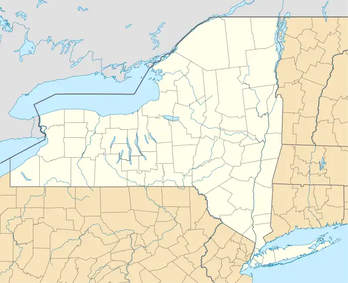
| State | New York |
| County | Madison |
| Town | Brookfield |
| Elevation | 1,381 ft (421 m) |
| Time zone | UTC-5 (Eastern (EST)) |
| • Summer (DST) | UTC-4 (EDT) |
| ZIP code | 13314 |
| Area code(s) | 315 & 680 |
| GNIS feature ID | 944832[1] |
Brookfield is a hamlet in Madison County, New York, United States. The community is 11 miles (18 km) east of Hamilton. Brookfield has a post office with ZIP code 13314.[2][3] Beaver Creek flows through the hamlet. The hamlet was once known as "Baileys Corners" and "Clarkville" (named after Joseph Clark).
References
- ↑ "Brookfield". Geographic Names Information System. United States Geological Survey, United States Department of the Interior.
- ↑ United States Postal Service. "USPS - Look Up a ZIP Code". Retrieved September 30, 2017.
- ↑ "Postmaster Finder - Post Offices by ZIP Code". United States Postal Service. Archived from the original on October 17, 2020. Retrieved September 30, 2017.
Municipalities and communities of Madison County, New York, United States | ||
|---|---|---|
| City | 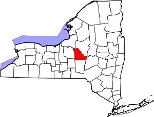 | |
| Towns | ||
| Villages | ||
| CDP | ||
| Other hamlets | ||
| Indian reservations | ||
| Footnotes | ‡This populated place also has portions in another county or counties | |
This article is issued from Wikipedia. The text is licensed under Creative Commons - Attribution - Sharealike. Additional terms may apply for the media files.