Brie-Comte-Robert | |
|---|---|
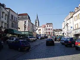
 The market square in Brie-Comte-Robert | |
 Coat of arms | |
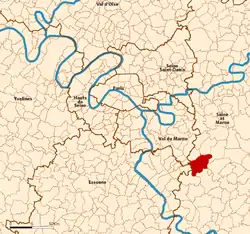
 Location (in red) within Paris inner and outer suburbs | |
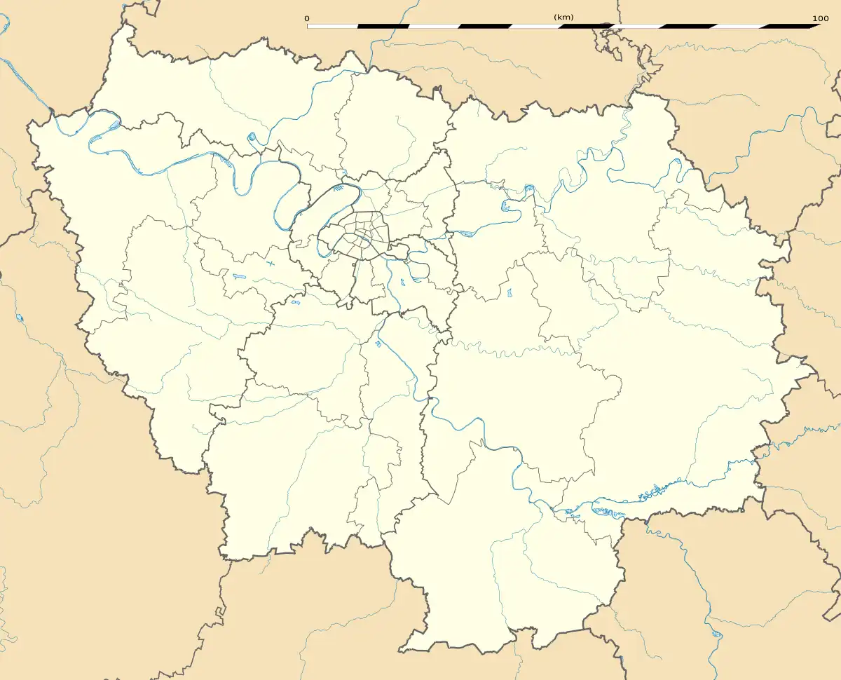
Location of Brie-Comte-Robert | |
 Brie-Comte-Robert  Brie-Comte-Robert | |
| Coordinates: 48°41′30″N 2°36′30″E / 48.6917°N 2.6083°E | |
| Country | France |
| Region | Île-de-France |
| Department | Seine-et-Marne |
| Arrondissement | Torcy |
| Canton | Combs-la-Ville |
| Intercommunality | CC L'Orée de la Brie |
| Government | |
| • Mayor (2020–2026) | Jean Laviolette[1] |
| Area 1 | 19.93 km2 (7.70 sq mi) |
| Population | 19,213 |
| • Density | 960/km2 (2,500/sq mi) |
| Time zone | UTC+01:00 (CET) |
| • Summer (DST) | UTC+02:00 (CEST) |
| INSEE/Postal code | 77053 /77170 |
| Elevation | 47–104 m (154–341 ft) |
| 1 French Land Register data, which excludes lakes, ponds, glaciers > 1 km2 (0.386 sq mi or 247 acres) and river estuaries. | |
Brie-Comte-Robert (French pronunciation: [bʁi kɔ̃t ʁɔbɛʁ] ⓘ) is a commune in the Seine-et-Marne department in the Île-de-France region in north-central France.
Brie-Comte-Robert is on the edge of the plain of Brie and was formerly the capital of the Brie française.
"Brie" comes from the Gaulish briga, meaning "plateau". The "Comte Robert" was Robert I of Dreux who owned the town and was a brother of the King Louis VII.
Population
The inhabitants are called Briards.
|
| ||||||||||||||||||||||||||||||||||||||||||||||||||||||||||||||||||||||||||||||||||||||||||||||||||||||||||||||||||
| Source: EHESS[3] and INSEE (1968-2017)[4] | |||||||||||||||||||||||||||||||||||||||||||||||||||||||||||||||||||||||||||||||||||||||||||||||||||||||||||||||||||

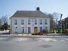
Town Hall
Sights
- The medieval castle
- Église Saint-Étienne: (13th century) Gothic church, with its original rose window above the quire, wood panels of the 15th century.
- Hôtel-Dieu: (13th century) this place has been a hospital, then a nunnery. A recent building has been built, using the original facade of the chapel.
- A stunning market place with beautiful fruit and vegetables arranged almost like art
See also
- Villemeneux
- Communes of the Seine-et-Marne department
- Market place
References
- ↑ "Répertoire national des élus: les maires" (in French). data.gouv.fr, Plateforme ouverte des données publiques françaises. 13 September 2022.
- ↑ "Populations légales 2021". The National Institute of Statistics and Economic Studies. 28 December 2023.
- ↑ Des villages de Cassini aux communes d'aujourd'hui: Commune data sheet Brie-Comte-Robert, EHESS (in French).
- ↑ Population en historique depuis 1968, INSEE
External links
Wikimedia Commons has media related to Brie-Comte-Robert.
- 1999 Land Use, from IAURIF (Institute for Urban Planning and Development of the Paris-Île-de-France région) (in English)
- Base Mérimée: Search for heritage in the commune, Ministère français de la Culture. (in French)
This article is issued from Wikipedia. The text is licensed under Creative Commons - Attribution - Sharealike. Additional terms may apply for the media files.