Brassac | |
|---|---|
 Bridge | |
.svg.png.webp) Coat of arms | |
Location of Brassac | |
 Brassac 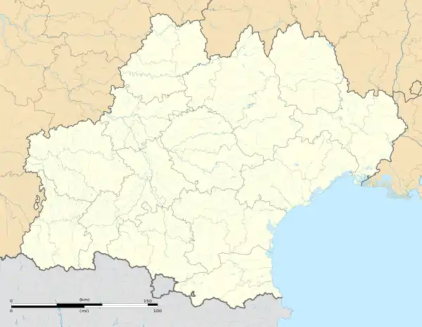 Brassac | |
| Coordinates: 43°37′50″N 2°29′58″E / 43.6306°N 2.4994°E | |
| Country | France |
| Region | Occitania |
| Department | Tarn |
| Arrondissement | Castres |
| Canton | Les Hautes Terres d'Oc |
| Intercommunality | Sidobre Vals et Plateaux |
| Government | |
| • Mayor (2020–2026) | Jean-Claude Guiraud[1] |
| Area 1 | 23.87 km2 (9.22 sq mi) |
| Population | 1,294 |
| • Density | 54/km2 (140/sq mi) |
| Time zone | UTC+01:00 (CET) |
| • Summer (DST) | UTC+02:00 (CEST) |
| INSEE/Postal code | 81037 /81260 |
| Elevation | 463–828 m (1,519–2,717 ft) |
| 1 French Land Register data, which excludes lakes, ponds, glaciers > 1 km2 (0.386 sq mi or 247 acres) and river estuaries. | |
Brassac (French pronunciation: [bʁasak]; Occitan: Braçac) is a commune in the Tarn department in southern France.
Geography
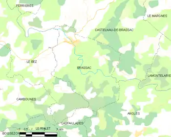
Map
Gallery
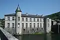 Castle - town hall.
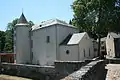 Castle.
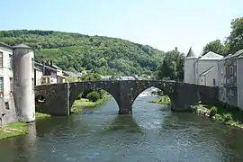
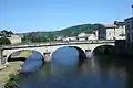 Bridge.
See also
References
- ↑ "Répertoire national des élus: les maires". data.gouv.fr, Plateforme ouverte des données publiques françaises (in French). 2 December 2020.
- ↑ "Populations légales 2021". The National Institute of Statistics and Economic Studies. 28 December 2023.
External links
Wikimedia Commons has media related to Brassac (Tarn).
This article is issued from Wikipedia. The text is licensed under Creative Commons - Attribution - Sharealike. Additional terms may apply for the media files.